Transport Functions
Multimodal
Hub Profile
Place type
Populated place
Region
Provence-Alpes-Côte d'Azur
Population
361
Time zone
Europe/Paris
Elevation
414 m
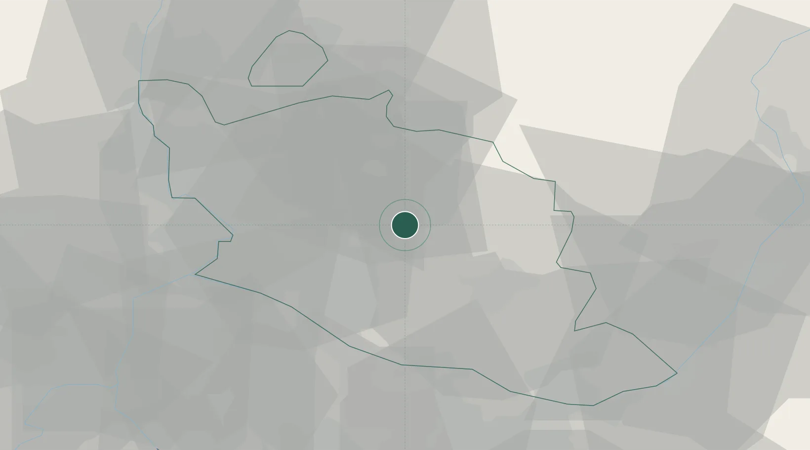
Location
Nearby Logistics Neighbours
Cities
- 1Méthamis2 km
- 2Villes-sur-Auzon3 km
- 3Malemort-du-Comtat3 km
- 4Mazan6 km
- 5Saint-Pierre-de-Vassols8 km
Ports
- 1Port-de-Bouc73 km
- 2Fos73 km
- 3Port Saint Louis Du Rhone79 km
- 4Marseille81 km
- 5Toulon119 km
Airports
Trade Zones
- 1ZFU Avignon33 km
- 2ZFU Nîmes72 km
- 3ZFU Marseille 15e et 16e79 km
- 4ZFU Saint-Barthélémy, Le Canet, Delorme-Paternelle84 km
- 5ZFU Valence103 km
DatabookThe Record of Consolidated Knowledge
France beyond logistics?