UN/LOCODE hub · France
FRMC4
Malemort-du-Comtat
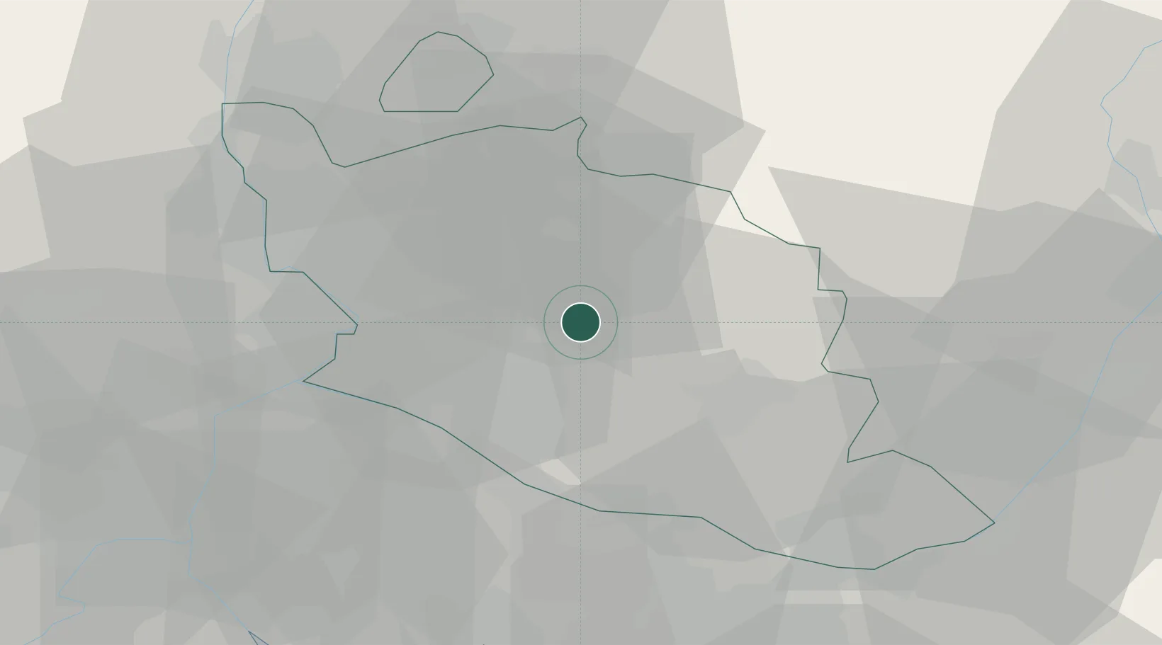
44.0167°, 5.1667°
1,278
Population
1
Transport functions
Transport Functions
Multimodal
Hub Profile
Place type
Populated place
Region
Provence-Alpes-Côte d'Azur
Population
1,278
Time zone
Europe/Paris
Elevation
219 m
Location
Nearby Logistics Neighbours
Cities
- 1Blauvac3 km
- 2Méthamis4 km
- 3Mazan5 km
- 4Villes-sur-Auzon7 km
- 5La Roque-sur-Pernes7 km
Ports
- 1Port-de-Bouc70 km
- 2Fos71 km
- 3Port Saint Louis Du Rhone76 km
- 4Marseille80 km
- 5Toulon119 km
Airports
Trade Zones
- 1ZFU Avignon30 km
- 2ZFU Nîmes69 km
- 3ZFU Marseille 15e et 16e78 km
- 4ZFU Saint-Barthélémy, Le Canet, Delorme-Paternelle82 km
- 5ZFU Valence104 km
DatabookThe Record of Consolidated Knowledge
France beyond logistics?