Transport Functions
Multimodal
Hub Profile
Place type
Populated place
Region
Provence-Alpes-Côte d'Azur
Population
1,100
Time zone
Europe/Paris
Elevation
295 m
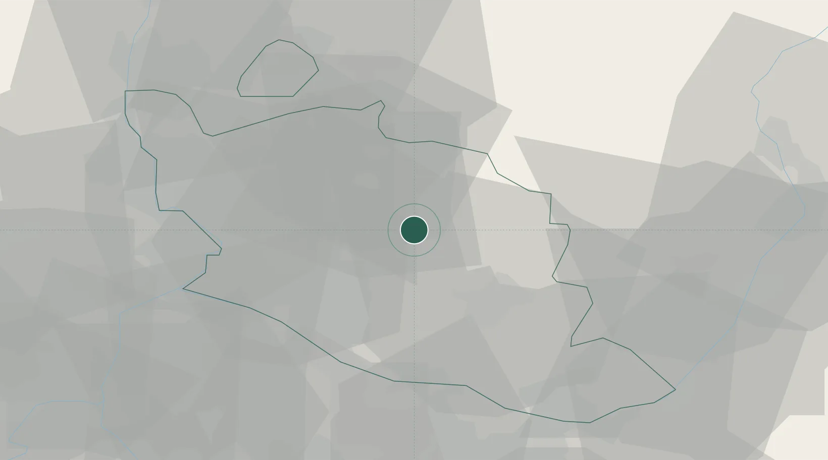
Location
Nearby Logistics Neighbours
Cities
- 1Blauvac3 km
- 2Méthamis4 km
- 3Flassan6 km
- 4Malemort-du-Comtat7 km
- 5Mazan8 km
Ports
- 1Port-de-Bouc75 km
- 2Fos76 km
- 3Port Saint Louis Du Rhone81 km
- 4Marseille82 km
- 5Toulon119 km
Airports
Trade Zones
- 1ZFU Avignon36 km
- 2ZFU Nîmes75 km
- 3ZFU Marseille 15e et 16e81 km
- 4ZFU Saint-Barthélémy, Le Canet, Delorme-Paternelle86 km
- 5ZFU Valence102 km
DatabookThe Record of Consolidated Knowledge
France beyond logistics?