UN/LOCODE hub · France
FRPVS

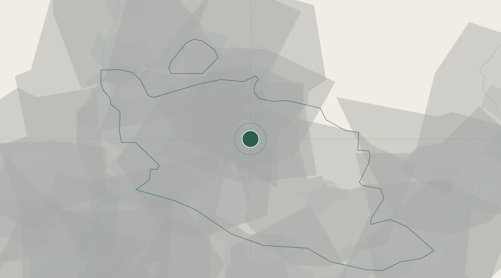
Saint-Pierre-de-Vassols

44.1000°, 5.1500°
466
Population
1
Transport functions

Transport Functions

Multimodal
UN/LOCODE

Hub Profile

Place type
Populated place
GeoNames
Region
Provence-Alpes-Côte d'Azur
GeoNames
Population
466
GeoNames
Time zone
Europe/Paris
GeoNames
Elevation
213 m
GeoNames

Location

Location of FRPVS
Natural Earth 10m (public domain) · Provence-Alpes-Côte d'Azur · FRPVS · 44.10, 5.15GoogleOSMYandex

Nearby Logistics Neighbours

Cities
  1. 1Bédoin2 km
  2. 2Caromb4 km
  3. 3Le Barroux5 km
  4. 4Mazan6 km
  5. 5Serres7 km
Nearest neighbours — logibook spatial index (haversine) over the source coordinates
Ports
  1. 1Fos79 km
  2. 2Port-de-Bouc79 km
  3. 3Port Saint Louis Du Rhone84 km
  4. 4Marseille89 km
  5. 5Toulon127 km
Nearest neighbours — logibook spatial index (haversine) over the source coordinates
Airports
  1. 1Orange-Caritat (BA 115) Air Base23 km
  2. 2Avignon Caumont airport29 km
  3. 3Salon-de-Provence (BA 701) Air Base55 km
  4. 4Istres-Le Tubé Air Base67 km
  5. 5Nîmes-Arles-Camargue Airport70 km
Nearest neighbours — logibook spatial index (haversine) over the source coordinates
Trade Zones
  1. 1ZFU Avignon32 km
  2. 2ZFU Nîmes71 km
  3. 3ZFU Marseille 15e et 16e87 km
  4. 4ZFU Saint-Barthélémy, Le Canet, Delorme-Paternelle91 km
  5. 5ZFU Valence95 km
Nearest neighbours — logibook spatial index (haversine) over the source coordinates
DatabookThe Record of Consolidated Knowledge
France beyond logistics?
Browse databook

All Sources

LocationsUN/LOCODE
UN/LOCODE — free
LocationsGeoNames
CC BY 4.0
Portsthe NGA World Port Index
Public domain (US gov)
AirportsOurAirports
Public domain
Trade Zonesthe World Bank SEZ database
CC BY 4.0
Trade ZonesOpen Zone Map
CC BY
← France locations