Transport Functions
Multimodal
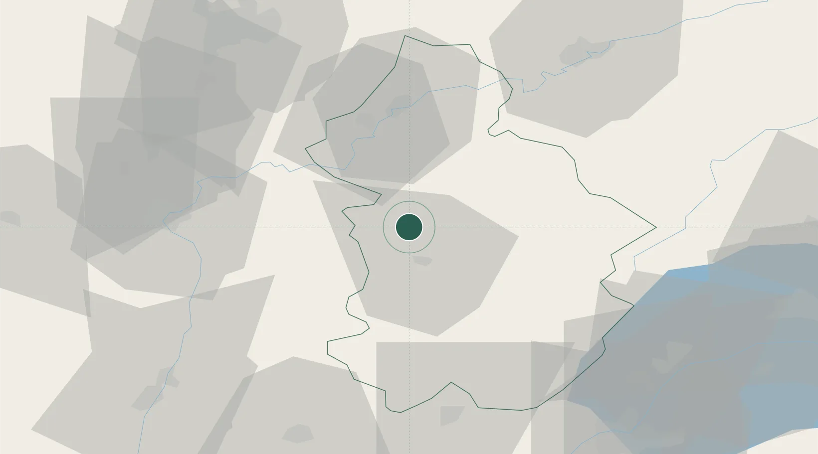
Hub Profile
Place type
Populated place
Region
Bourgogne
Population
744
Time zone
Europe/Paris
Elevation
221 m
Location
Nearby Logistics Neighbours
Cities
- 1L'Étoile6 km
- 2Le Vernois6 km
- 3Voiteur7 km
- 4Lavigny8 km
- 5Lons-le-Saunier11 km
Ports
- 1Savona357 km
- 2Rada Di Vado359 km
- 3Nice368 km
- 4Monaco368 km
- 5Villefranche369 km
Airports
- 1Dole Tavaux Airport31 km
- 2Dijon Longvic airport65 km
- 3Geneva Cointrin International Airport74 km
- 4Mâcon-Charnay Airfield77 km
- 5Annemasse Airfield85 km
Trade Zones
DatabookThe Record of Consolidated Knowledge
France beyond logistics?