Transport Functions
Rail
Hub Profile
Place type
Provincial seat
Region
Bourgogne
Population
20,678
Time zone
Europe/Paris
Elevation
260 m
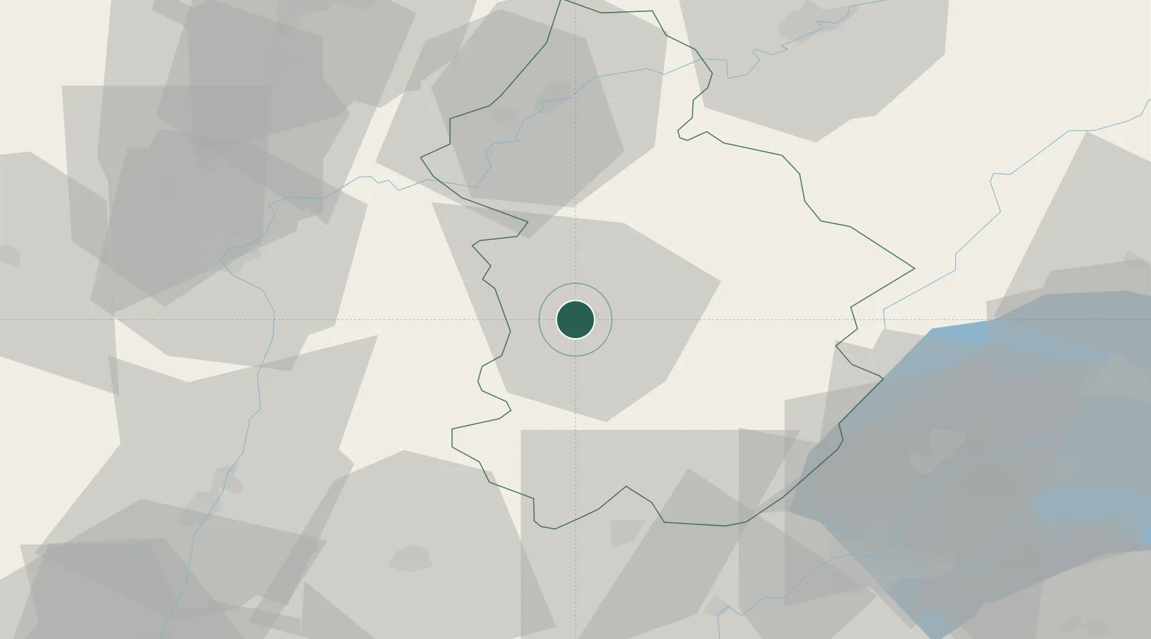
Location
Nearby Logistics Neighbours
Cities
- 1Conliège4 km
- 2Gevingey5 km
- 3L'Étoile6 km
- 4Lavigny7 km
- 5Le Vernois8 km
Ports
- 1Savona348 km
- 2Rada Di Vado350 km
- 3Nice357 km
- 4Monaco357 km
- 5Villefranche358 km
Airports
- 1Dole Tavaux Airport42 km
- 2Geneva Cointrin International Airport64 km
- 3Mâcon-Charnay Airfield71 km
- 4Dijon Longvic airport76 km
- 5Annemasse Airfield76 km
DatabookThe Record of Consolidated Knowledge
France beyond logistics?