Transport Functions
Multimodal
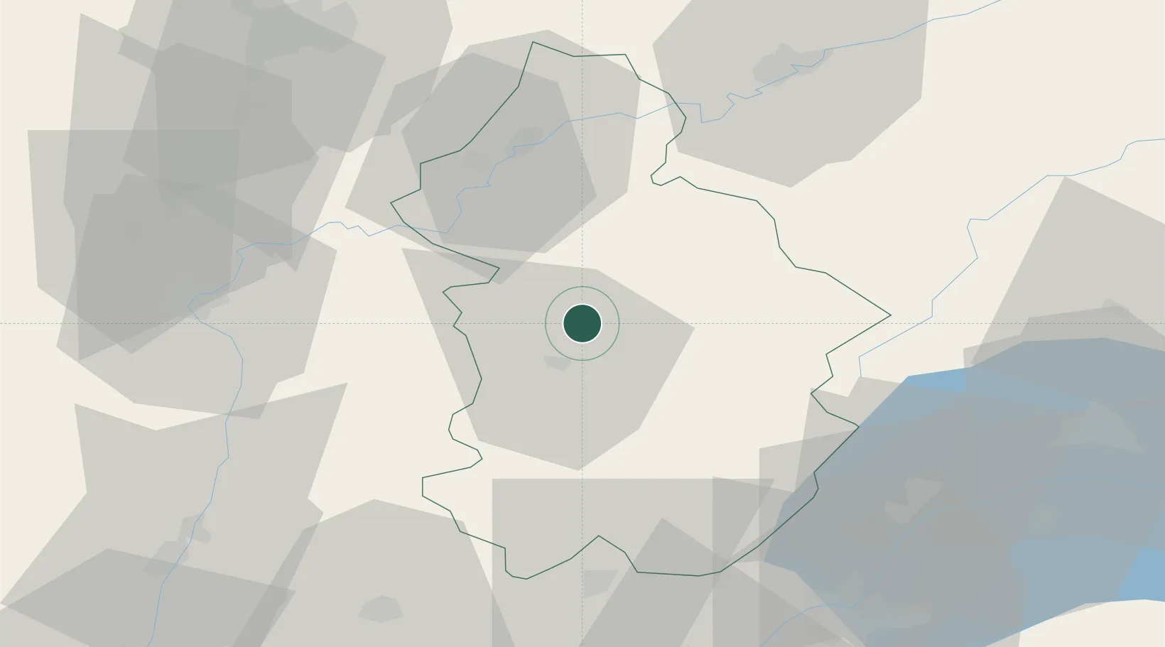
Hub Profile
Place type
Populated place
Region
Bourgogne
Population
785
Time zone
Europe/Paris
Elevation
255 m
Location
Nearby Logistics Neighbours
Cities
- 1Le Vernois2 km
- 2Lavigny4 km
- 3Arlay7 km
- 4L'Étoile7 km
- 5Lons-le-Saunier11 km
Ports
- 1Savona352 km
- 2Rada Di Vado354 km
- 3Nice363 km
- 4Monaco364 km
- 5Villefranche364 km
Airports
- 1Dole Tavaux Airport35 km
- 2Geneva Cointrin International Airport68 km
- 3Dijon Longvic airport70 km
- 4Annemasse Airfield80 km
- 5Mâcon-Charnay Airfield81 km
DatabookThe Record of Consolidated Knowledge
France beyond logistics?