Transport Functions
Rail
Road
Hub Profile
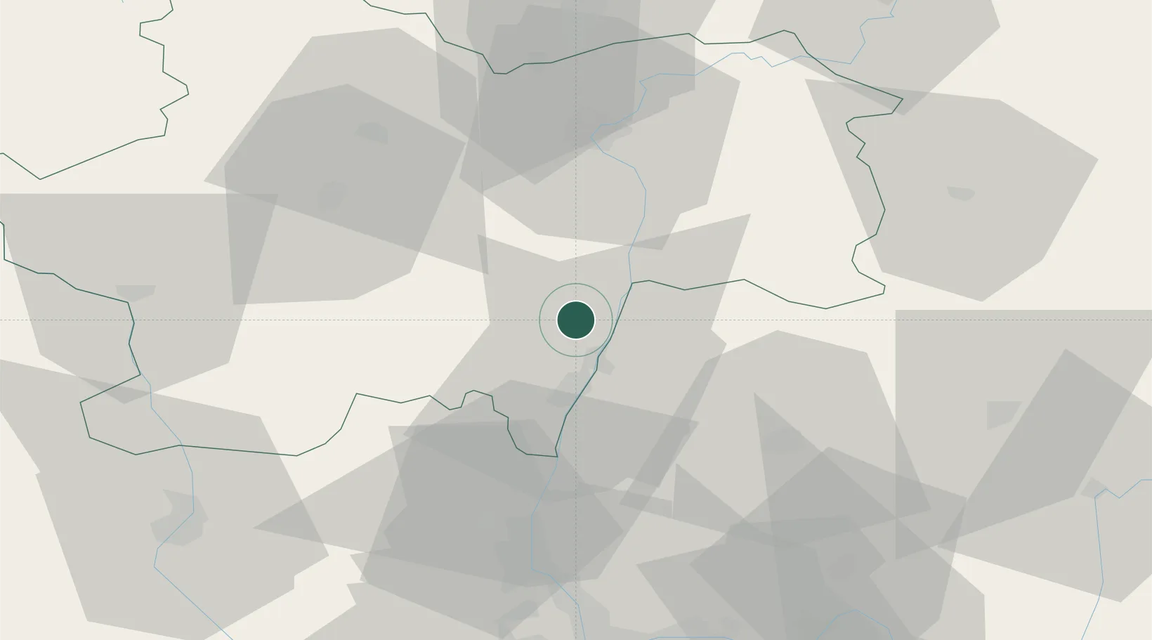
Place type
Populated place
Region
Bourgogne
Population
982
Time zone
Europe/Paris
Elevation
216 m
Location
Nearby Logistics Neighbours
Ports
- 1Fos336 km
- 2Port-de-Bouc338 km
- 3Port Saint Louis Du Rhone339 km
- 4Sete349 km
- 5Marseille349 km
Airports
- 1Mâcon-Charnay Airfield16 km
- 2Ambérieu Air Base (BA 278)63 km
- 3Saint-Yan Airport63 km
- 4Roanne-Renaison Airport77 km
- 5Lyon Bron Airport79 km
Trade Zones
- 1ZFU Rillieux-la-Pape68 km
- 2ZFU Vaulx-en-Velin73 km
- 3ZFU Lyon 9e73 km
- 4ZFU Vénissieux82 km
- 5ZFU Chenôve96 km
DatabookThe Record of Consolidated Knowledge
France beyond logistics?