Transport Functions
Multimodal
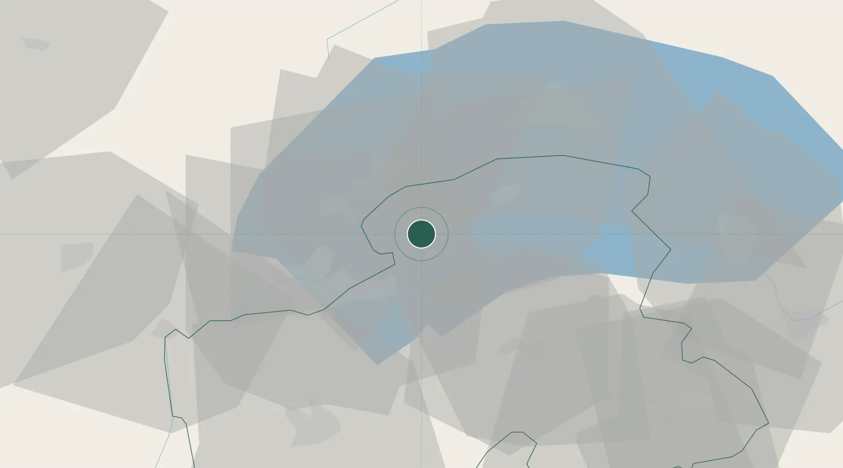
Hub Profile
Place type
Populated place
Region
Rhône-Alpes
Population
1,207
Time zone
Europe/Paris
Elevation
588 m
Location
Nearby Logistics Neighbours
Ports
- 1Savona278 km
- 2Rada Di Vado281 km
- 3Genova293 km
- 4Monaco298 km
- 5Nice299 km
Airports
- 1Annemasse Airfield13 km
- 2Geneva Cointrin International Airport19 km
- 3Annecy Meythet airport45 km
- 4Payerne Air Base75 km
- 5Sion Airport77 km
DatabookThe Record of Consolidated Knowledge
France beyond logistics?