Transport Functions
Port
Rail
Road
Hub Profile
Place type
Populated place
Region
Vaud
Population
2,124
Time zone
Europe/Zurich
Elevation
390 m
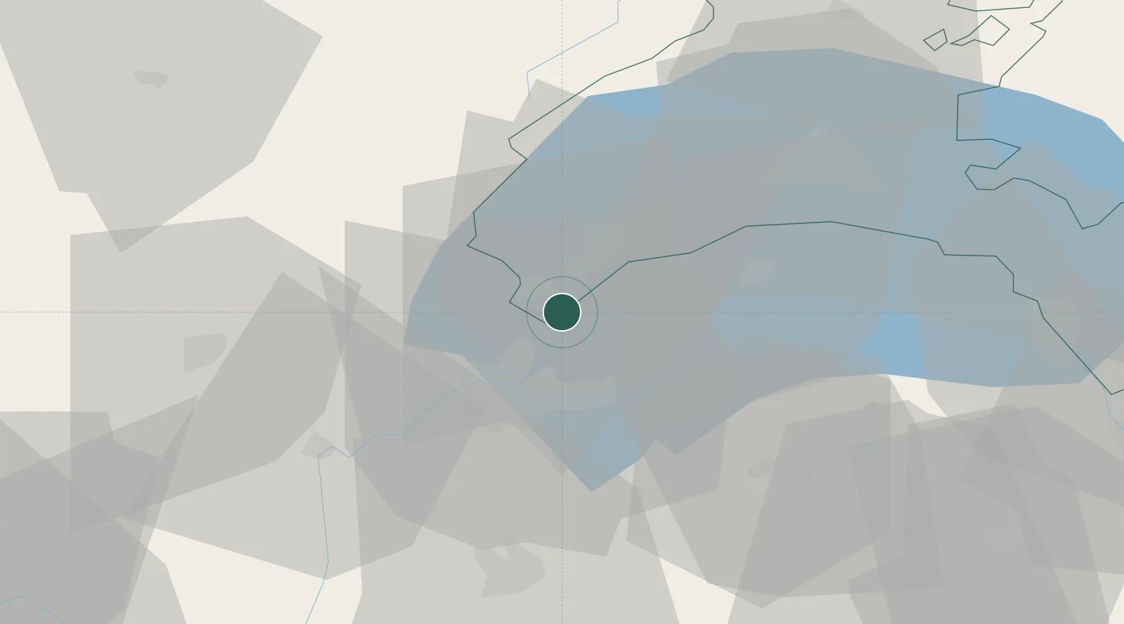
Location
Nearby Logistics Neighbours
Cities
- 1Mies3 km
- 2Anieres4 km
- 3Chavannes-de-Bogis4 km
- 4Versoix5 km
- 5Bogis-Bossey5 km
Ports
- 1Savona286 km
- 2Rada Di Vado288 km
- 3Genova301 km
- 4Monaco303 km
- 5Nice303 km
Airports
DatabookThe Record of Consolidated Knowledge
Switzerland beyond logistics?