Transport Functions
Road
Multimodal
Hub Profile
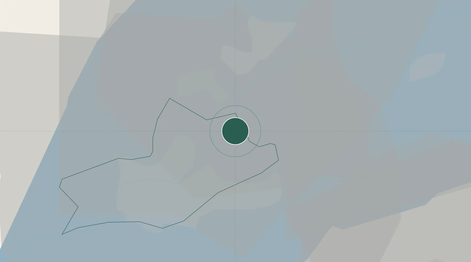
Place type
Populated place
Region
Geneva
Population
2,706
Time zone
Europe/Zurich
Elevation
389 m
Location
Nearby Logistics Neighbours
Cities
- 1Versoix4 km
- 2Coppet4 km
- 3Collonge-Bellerive4 km
- 4Mies4 km
- 5Vésenaz6 km
Ports
- 1Savona282 km
- 2Rada Di Vado285 km
- 3Genova298 km
- 4Monaco299 km
- 5Nice299 km
Airports
DatabookThe Record of Consolidated Knowledge
Switzerland beyond logistics?