Transport Functions
Road
Multimodal
Hub Profile
Region
ZA
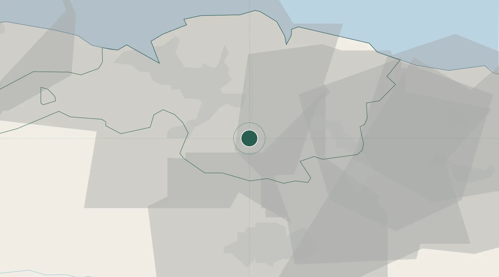
Location
Nearby Logistics Neighbours
Cities
- 1Bedia7 km
- 2Lemona8 km
- 3Zeanuri9 km
- 4Usansolo10 km
- 5Amorebieta11 km
Ports
- 1Bermeo32 km
- 2Puerto De Bilbao32 km
- 3Puerto De Pasajes72 km
- 4Santander89 km
- 5Bayonne114 km
Airports
- 1Bilbao Airport21 km
- 2Vitoria Airport28 km
- 3Logroño-Agoncillo Airport84 km
- 4San Sebastián Airport84 km
- 5Seve Ballesteros-Santander Airport90 km
Trade Zones
DatabookThe Record of Consolidated Knowledge
Spain beyond logistics?