Transport Functions
Multimodal
Hub Profile
Place type
District seat
Region
Andalusia
Population
2,922
Time zone
Europe/Madrid
Elevation
159 m
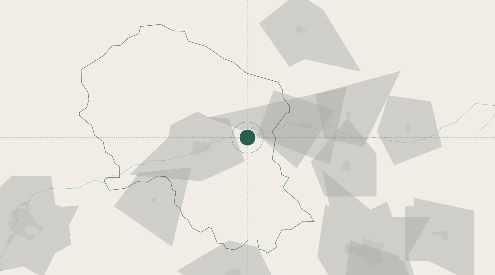
Location
Nearby Logistics Neighbours
Cities
- 1Los Villares37 km
- 2Lendinez37 km
- 3Baena41 km
- 4Villarrubia42 km
- 5La Victoria48 km
Airports
- 1Córdoba Airport38 km
- 2F.G.L. Airport Granada-Jaén Airport105 km
- 3Ciudad Real International Airport107 km
- 4Armilla Air Base117 km
- 5Moron Air Base135 km
Trade Zones
- 1Depósito Franco de Málaga103 km
- 2Zona Franca de Sevilla154 km
- 3Depósito Franco de Algeciras223 km
- 4Zona Franca de Cádiz229 km
- 5Puerto de Huelva235 km
DatabookThe Record of Consolidated Knowledge
Spain beyond logistics?