Transport Functions
Multimodal
Hub Profile
Region
VI
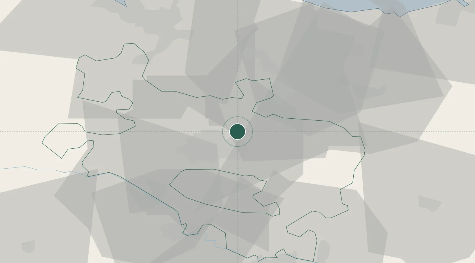
Location
Nearby Logistics Neighbours
Cities
- 1Durana4 km
- 2Aranguiz5 km
- 3Legutiano6 km
- 4Villarreal de Álava8 km
- 5Vitoria-Gasteiz10 km
Ports
- 1Bermeo56 km
- 2Puerto De Bilbao58 km
- 3Puerto De Pasajes74 km
- 4Santander110 km
- 5Bayonne116 km
Airports
- 1Vitoria Airport7 km
- 2Bilbao Airport48 km
- 3Logroño-Agoncillo Airport57 km
- 4Pamplona Airport83 km
- 5San Sebastián Airport85 km
Trade Zones
DatabookThe Record of Consolidated Knowledge
Spain beyond logistics?