Transport Functions
Port
Multimodal
Hub Profile
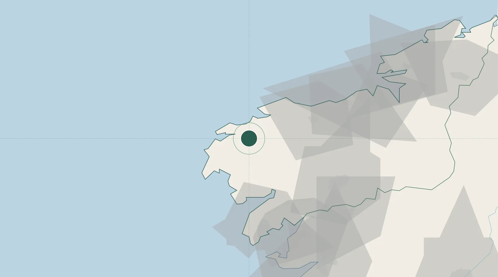
Place type
District seat
Region
Galicia
Time zone
Europe/Madrid
Elevation
136 m
Location
Nearby Logistics Neighbours
Ports
- 1La Coruna58 km
- 2Villagarcia De Arosa61 km
- 3Ferrol77 km
- 4Marin84 km
- 5Vigo102 km
Airports
- 1Santiago-Rosalía de Castro Airport56 km
- 2A Coruña Airport57 km
- 3Vigo Airport104 km
- 4Braga Municipal Aerodrome177 km
- 5Vilar de Luz Airfield209 km
Trade Zones
- 1Depósito Franco de La Coruña58 km
- 2Zona Franca de Vigo101 km
- 3Zona Livre Tecnológica Masotinhos218 km
- 4VGP Park Santa Maria da Feira246 km
- 5Depósito Franco de Gijón275 km
DatabookThe Record of Consolidated Knowledge
Spain beyond logistics?