UN/LOCODE hub · Spain
ESIAS

Camariñas

43.1167°, -9.1667°
6,440
Population
3
Transport functions

Transport Functions

Port
Road
Multimodal
UN/LOCODE

Hub Profile

Place type
District seat
GeoNames
Region
Galicia
GeoNames
Population
6,440
GeoNames
Time zone
Europe/Madrid
GeoNames
Elevation
15 m
GeoNames

Location

Location of ESIAS
Natural Earth 10m (public domain) · Galicia · ESIAS · 43.12, -9.17GoogleOSMYandex

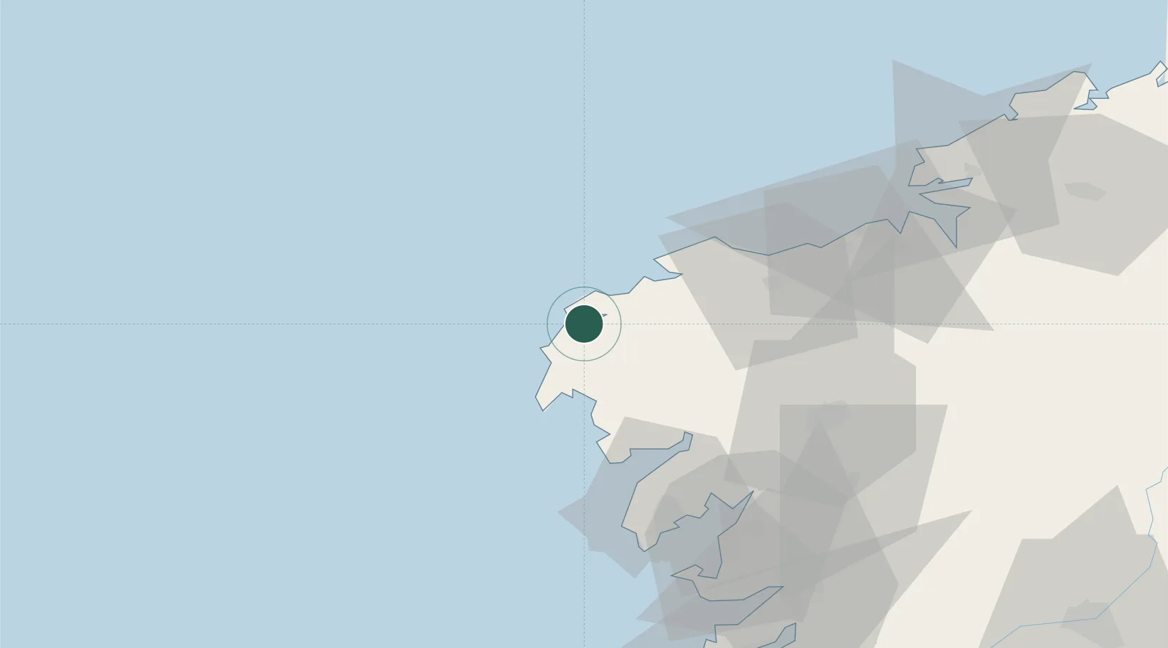
Nearby Logistics Neighbours

Cities
  1. 1Mugia5 km
  2. 2Vimianzo11 km
  3. 3Lage18 km
  4. 4Corcubión19 km
  5. 5Valladares31 km
Nearest neighbours — logibook spatial index (haversine) over the source coordinates
Ports
  1. 1Villagarcia De Arosa66 km
  2. 2La Coruna68 km
  3. 3Ferrol86 km
  4. 4Marin88 km
  5. 5Vigo105 km
Nearest neighbours — logibook spatial index (haversine) over the source coordinates
Airports
  1. 1Santiago-Rosalía de Castro Airport66 km
  2. 2A Coruña Airport67 km
  3. 3Vigo Airport108 km
  4. 4Braga Municipal Aerodrome180 km
  5. 5Vilar de Luz Airfield211 km
Nearest neighbours — logibook spatial index (haversine) over the source coordinates
Trade Zones
  1. 1Depósito Franco de La Coruña68 km
  2. 2Zona Franca de Vigo104 km
  3. 3Zona Livre Tecnológica Masotinhos220 km
  4. 4VGP Park Santa Maria da Feira248 km
  5. 5Depósito Franco de Gijón285 km
Nearest neighbours — logibook spatial index (haversine) over the source coordinates
DatabookThe Record of Consolidated Knowledge
Spain beyond logistics?
Browse databook

All Sources

LocationsUN/LOCODE
UN/LOCODE — free
LocationsGeoNames
CC BY 4.0
Portsthe NGA World Port Index
Public domain (US gov)
AirportsOurAirports
Public domain
Trade Zonesthe World Bank SEZ database
CC BY 4.0
Trade ZonesOpen Zone Map
CC BY
← Spain locations