UN/LOCODE hub · Spain
ESPLU

Palau de Anglesola

41.6500°, 0.8833°
2
Transport functions

Transport Functions

Rail
Road
UN/LOCODE

Hub Profile

Region
L
GeoNames

Location

Location of ESPLU
Natural Earth 10m (public domain) · L · ESPLU · 41.65, 0.88GoogleOSMYandex

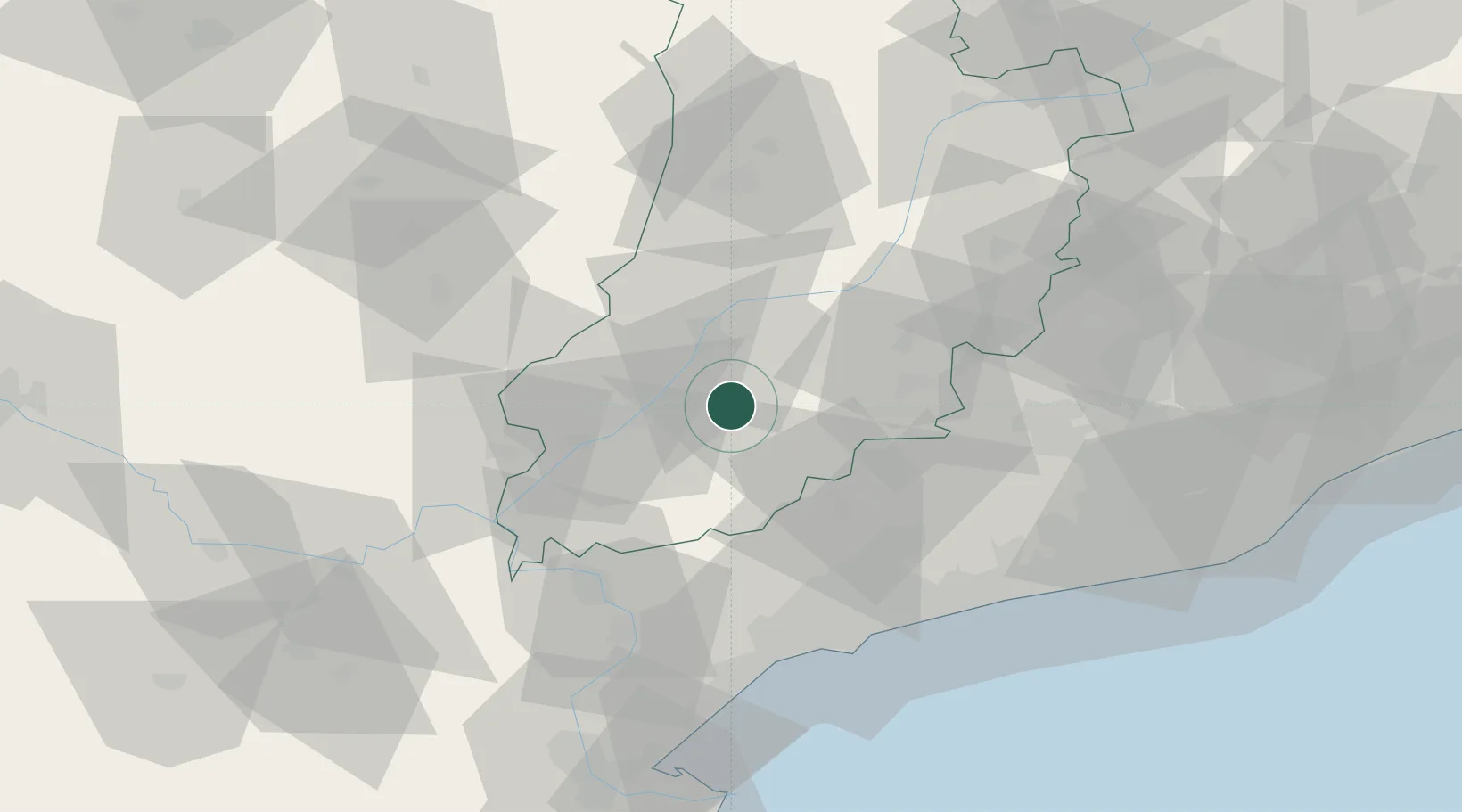
Nearby Logistics Neighbours

Cities
  1. 1Vila Sana3 km
  2. 2Miraclamp6 km
  3. 3Bellpuig10 km
  4. 4Vallfogona de Balaguer12 km
  5. 5Juneda14 km
Nearest neighbours — logibook spatial index (haversine) over the source coordinates
Ports
  1. 1Tarragona68 km
  2. 2Villanueva Y Geltru85 km
  3. 3Barcelona112 km
  4. 4San Feliu De Guixols179 km
  5. 5Palamos186 km
Nearest neighbours — logibook spatial index (haversine) over the source coordinates
Airports
  1. 1Lleida-Alguaire Airport30 km
  2. 2Reus Airport61 km
  3. 3Pirineus - la Seu d'Urgel Airport88 km
  4. 4Josep Tarradellas Barcelona-El Prat Airport107 km
  5. 5Folgueroles Airfield123 km
Nearest neighbours — logibook spatial index (haversine) over the source coordinates
Trade Zones
  1. 1Depósito Franco de Tarragona67 km
  2. 2Zona Franca de Barcelona109 km
  3. 3Depósito Franco de Zaragoza137 km
  4. 4ZFU Perpignan203 km
  5. 5ZFU Toulouse222 km
Nearest neighbours — logibook spatial index (haversine) over the source coordinates
DatabookThe Record of Consolidated Knowledge
Spain beyond logistics?
Browse databook

All Sources

LocationsUN/LOCODE
UN/LOCODE — free
Portsthe NGA World Port Index
Public domain (US gov)
AirportsOurAirports
Public domain
Trade Zonesthe World Bank SEZ database
CC BY 4.0
Trade ZonesOpen Zone Map
CC BY
← Spain locations