Transport Functions
Rail
Road
Hub Profile
Place type
District seat
Region
Catalonia
Population
3,048
Time zone
Europe/Madrid
Elevation
267 m
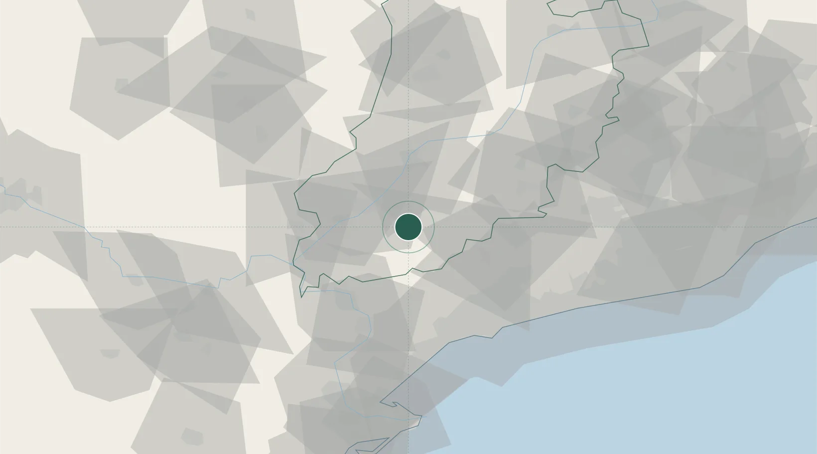
Location
Nearby Logistics Neighbours
Cities
- 1Miraclamp9 km
- 2Palau de Anglesola14 km
- 3Vila Sana15 km
- 4L'Espluga Calba16 km
- 5Bellpuig18 km
Ports
- 1Tarragona59 km
- 2Villanueva Y Geltru83 km
- 3Barcelona114 km
- 4San Feliu De Guixols186 km
- 5El Grao187 km
Airports
- 1Lleida-Alguaire Airport32 km
- 2Reus Airport52 km
- 3Pirineus - la Seu d'Urgel Airport102 km
- 4Josep Tarradellas Barcelona-El Prat Airport108 km
- 5Folgueroles Airfield132 km
Trade Zones
- 1Depósito Franco de Tarragona59 km
- 2Zona Franca de Barcelona111 km
- 3Depósito Franco de Zaragoza133 km
- 4ZFU Perpignan215 km
- 5ZFU Toulouse236 km
DatabookThe Record of Consolidated Knowledge
Spain beyond logistics?