Transport Functions
Road
Multimodal
Hub Profile
Place type
Populated place
Region
Catalonia
Time zone
Europe/Madrid
Elevation
476 m
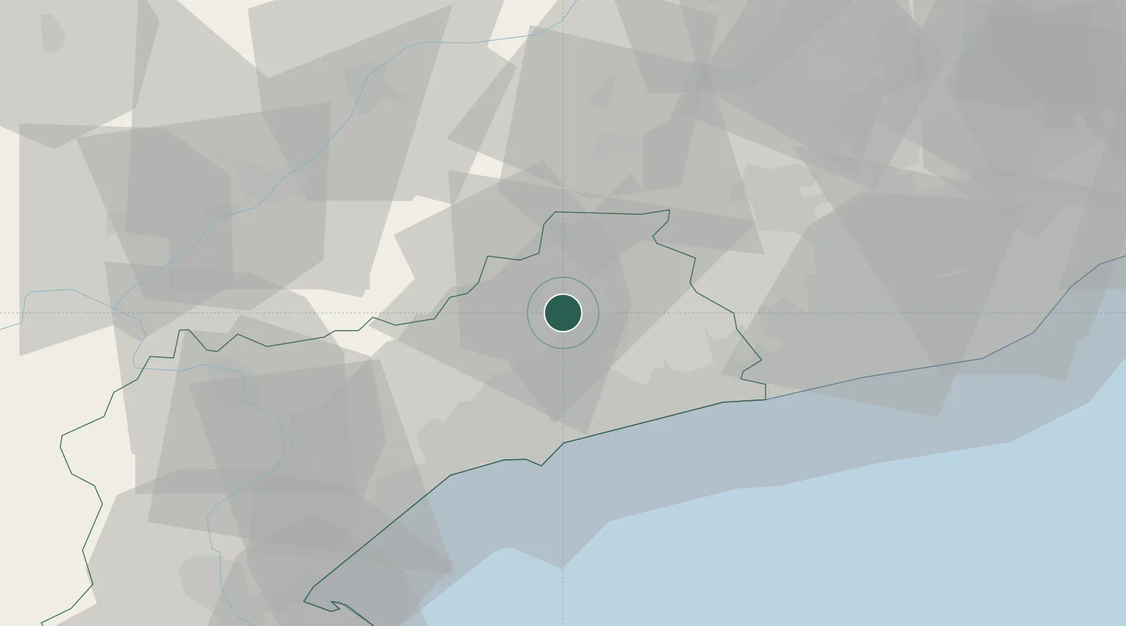
Location
Nearby Logistics Neighbours
Cities
- 1Barbera de la Conca4 km
- 2Montblanc5 km
- 3Sarral8 km
- 4Espluga de Francolí10 km
- 5Aiguamurcia13 km
Ports
- 1Tarragona30 km
- 2Villanueva Y Geltru46 km
- 3Barcelona79 km
- 4San Feliu De Guixols158 km
- 5Palamos166 km
Airports
Trade Zones
- 1Depósito Franco de Tarragona28 km
- 2Zona Franca de Barcelona76 km
- 3Depósito Franco de Zaragoza168 km
- 4ZFU Perpignan203 km
- 5ZFU Toulouse250 km
DatabookThe Record of Consolidated Knowledge
Spain beyond logistics?