Transport Functions
Port
Rail
Road
Multimodal
Hub Profile
Place type
District seat
Region
Catalonia
Population
6,632
Time zone
Europe/Madrid
Elevation
350 m
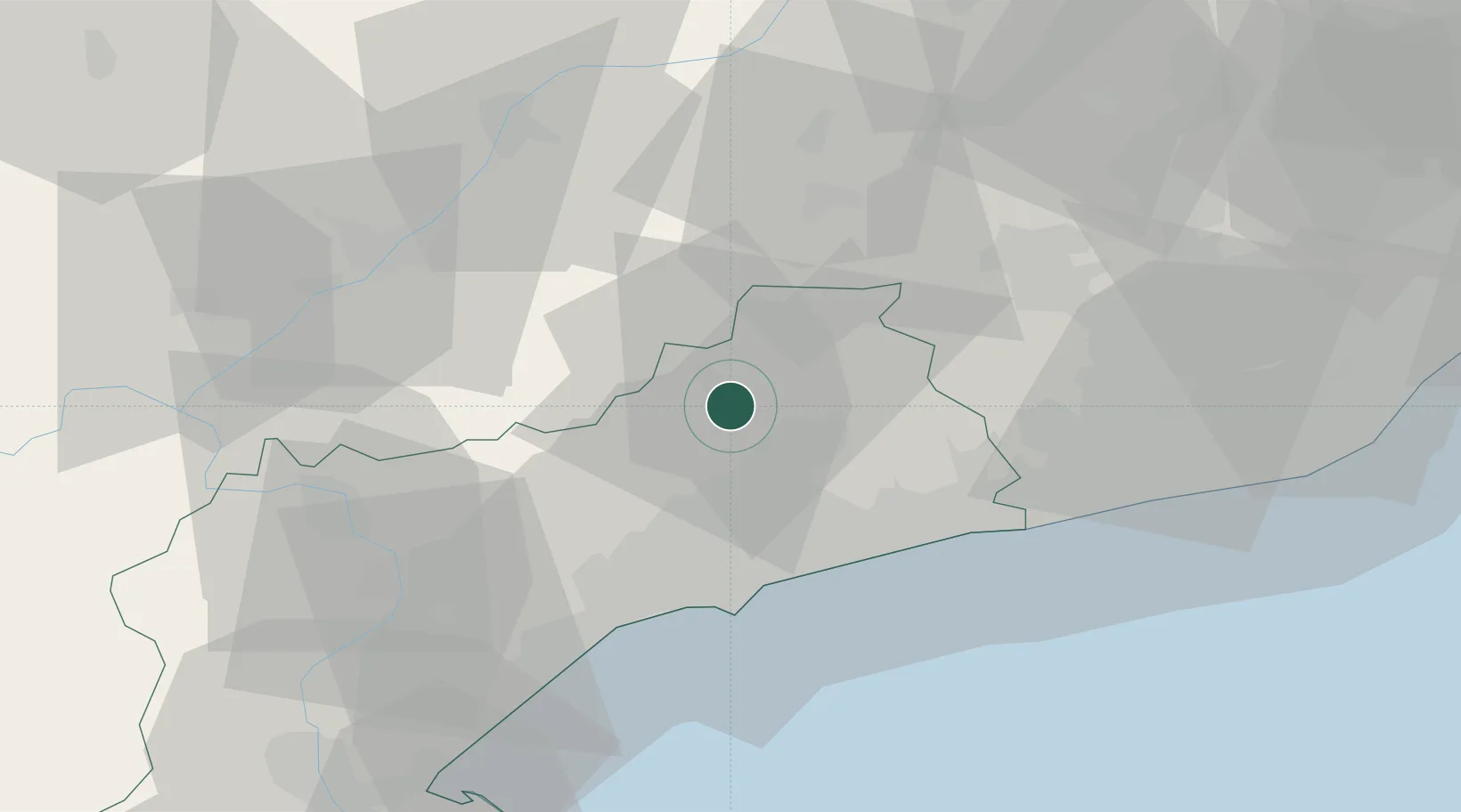
Location
Nearby Logistics Neighbours
Cities
- 1Barbera de la Conca5 km
- 2Prenafeta5 km
- 3Espluga de Francolí6 km
- 4Sarral8 km
- 5Aiguamurcia18 km
Ports
- 1Tarragona32 km
- 2Villanueva Y Geltru50 km
- 3Barcelona84 km
- 4San Feliu De Guixols162 km
- 5Palamos170 km
Airports
Trade Zones
- 1Depósito Franco de Tarragona31 km
- 2Zona Franca de Barcelona80 km
- 3Depósito Franco de Zaragoza164 km
- 4ZFU Perpignan204 km
- 5ZFU Toulouse248 km
DatabookThe Record of Consolidated Knowledge
Spain beyond logistics?