Transport Functions
Rail
Road
Multimodal
Hub Profile
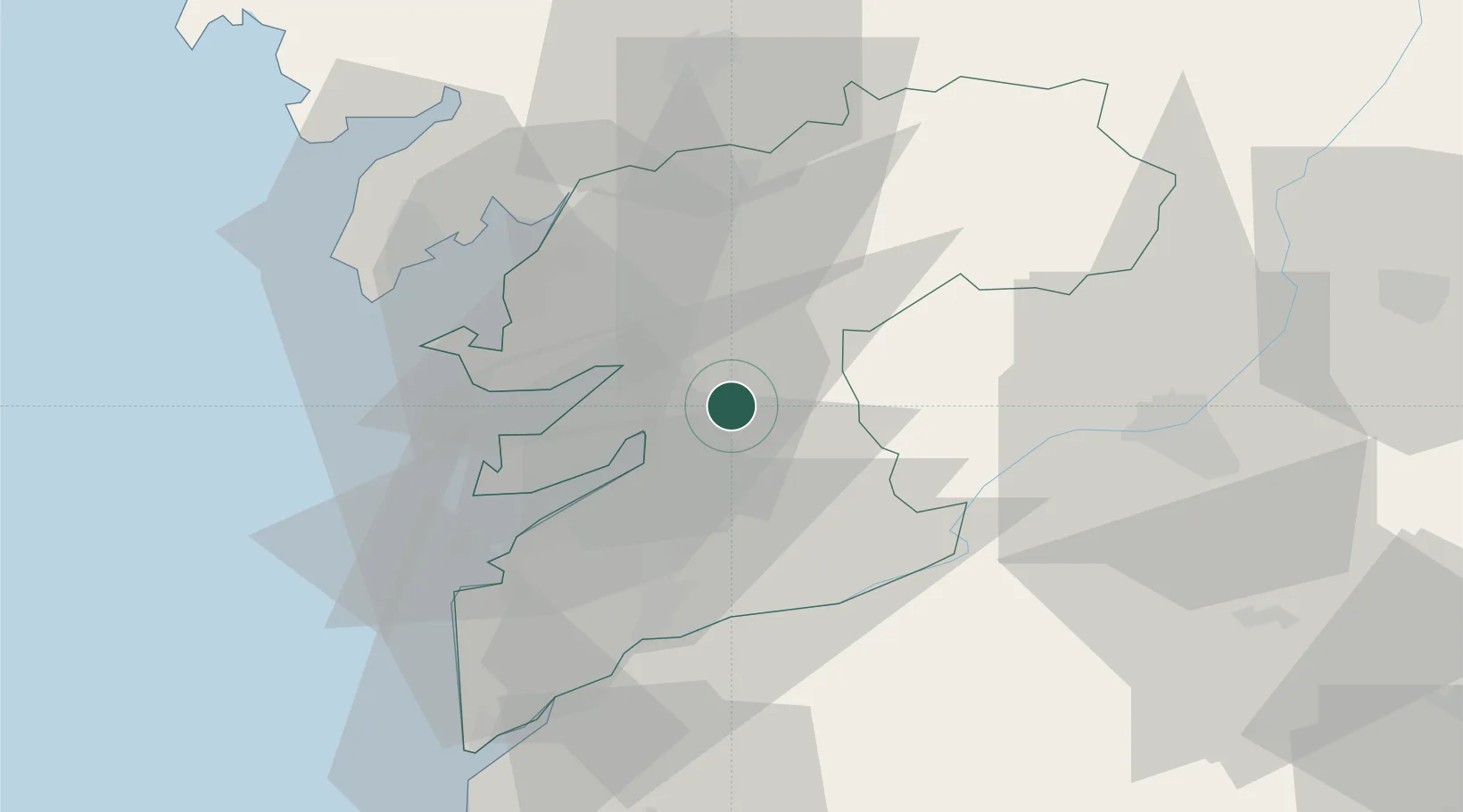
Region
PO
Location
Nearby Logistics Neighbours
Cities
- 1Marcon10 km
- 2Pazos de Borben12 km
- 3O Rosal12 km
- 4Stoney Point, Essex13 km
- 5Redondela13 km
Ports
- 1Marin17 km
- 2Vigo24 km
- 3Villagarcia De Arosa33 km
- 4Viana Do Castelo81 km
- 5La Coruna110 km
Airports
- 1Vigo Airport20 km
- 2Santiago-Rosalía de Castro Airport58 km
- 3Braga Municipal Aerodrome89 km
- 4A Coruña Airport103 km
- 5Vilar de Luz Airfield123 km
Trade Zones
- 1Zona Franca de Vigo27 km
- 2Depósito Franco de La Coruña109 km
- 3Zona Livre Tecnológica Masotinhos135 km
- 4VGP Park Santa Maria da Feira162 km
- 5Depósito Franco de Gijón263 km
DatabookThe Record of Consolidated Knowledge
Spain beyond logistics?