Transport Functions
Port
Hub Profile
Place type
Populated place
Region
Galicia
Population
6,378
Time zone
Europe/Madrid
Elevation
274 m
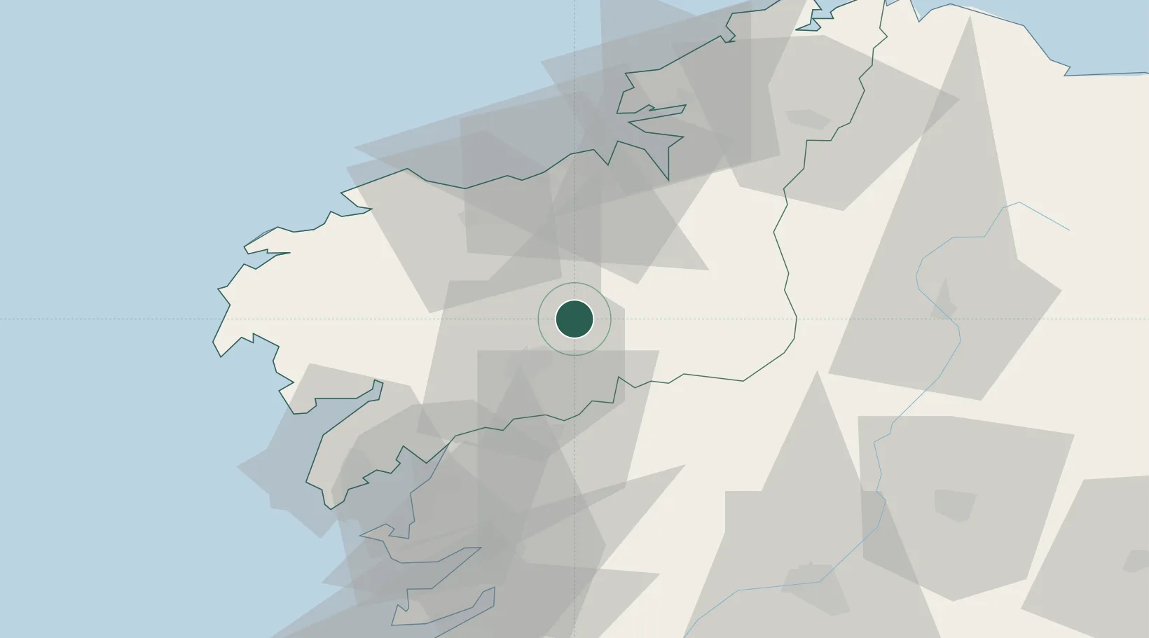
Location
Nearby Logistics Neighbours
Ports
- 1La Coruna43 km
- 2Villagarcia De Arosa51 km
- 3Ferrol58 km
- 4Marin68 km
- 5Vigo87 km
Airports
- 1Santiago-Rosalía de Castro Airport10 km
- 2A Coruña Airport36 km
- 3Vigo Airport85 km
- 4Braga Municipal Aerodrome155 km
- 5Bragança Airport189 km
Trade Zones
DatabookThe Record of Consolidated Knowledge
Spain beyond logistics?