Transport Functions
Rail
Road
Hub Profile
Place type
District seat
Region
Galicia
Population
37,712
Time zone
Europe/Madrid
Elevation
23 m
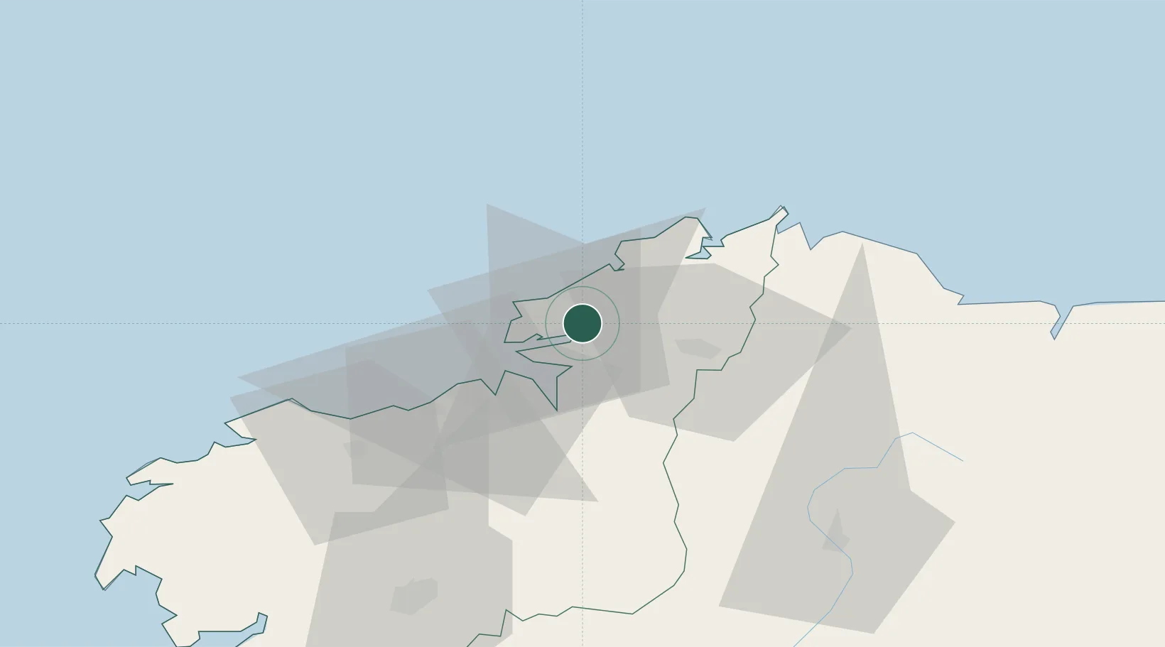
Location
Nearby Logistics Neighbours
Cities
- 1Valdovino9 km
- 2Mugardos10 km
- 3Ferrol15 km
- 4Cedeira17 km
- 5La Coruña (A Coruña)26 km
Ports
- 1Ferrol8 km
- 2La Coruna26 km
- 3San Ciprian61 km
- 4Ribadeo90 km
- 5Villagarcia De Arosa114 km
Airports
- 1A Coruña Airport30 km
- 2Santiago-Rosalía de Castro Airport72 km
- 3Vigo Airport148 km
- 4Asturias Airport171 km
- 5Braga Municipal Aerodrome216 km
Trade Zones
- 1Depósito Franco de La Coruña26 km
- 2Zona Franca de Vigo152 km
- 3Depósito Franco de Gijón198 km
- 4Zona Livre Tecnológica Masotinhos264 km
- 5VGP Park Santa Maria da Feira290 km
DatabookThe Record of Consolidated Knowledge
Spain beyond logistics?