UN/LOCODE hub · Spain
ESLCG

La Coruña (A Coruña)

43.3592°, -8.3928°
4
Transport functions
1
Container terminals

Transport Functions

Port
Rail
Road
Airport
La Coruña (A Coruña) is also a profiled seaport →
UN/LOCODE

Hub Profile

Region
C
GeoNames
Logistics facilities
1
UN/LOCODE
Container terminals
1
UN/LOCODE

Location

Location of ESLCG
Natural Earth 10m (public domain) · C · ESLCG · 43.36, -8.39GoogleOSMYandex

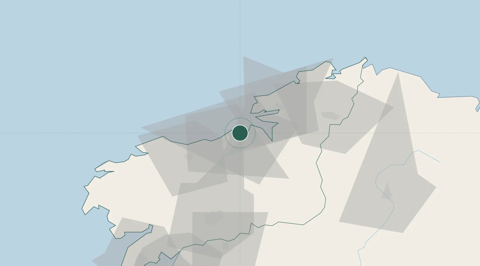
Nearby Logistics Neighbours

Cities
  1. 1A Baiuca11 km
  2. 2Arteixo11 km
  3. 3Ferrol13 km
  4. 4Mugardos17 km
  5. 5Laracha20 km
Nearest neighbours — logibook spatial index (haversine) over the source coordinates
Ports
  1. 1Ferrol19 km
  2. 2San Ciprian86 km
  3. 3Villagarcia De Arosa90 km
  4. 4Marin110 km
  5. 5Ribadeo111 km
Nearest neighbours — logibook spatial index (haversine) over the source coordinates
Airports
  1. 1A Coruña Airport7 km
  2. 2Santiago-Rosalía de Castro Airport52 km
  3. 3Vigo Airport127 km
  4. 4Asturias Airport192 km
  5. 5Braga Municipal Aerodrome197 km
Nearest neighbours — logibook spatial index (haversine) over the source coordinates
Trade Zones
  1. 1Depósito Franco de La Coruña0 km
  2. 2Zona Franca de Vigo129 km
  3. 3Depósito Franco de Gijón219 km
  4. 4Zona Livre Tecnológica Masotinhos244 km
  5. 5VGP Park Santa Maria da Feira270 km
Nearest neighbours — logibook spatial index (haversine) over the source coordinates
DatabookThe Record of Consolidated Knowledge
Spain beyond logistics?
Browse databook

All Sources

LocationsUN/LOCODE
UN/LOCODE — free
Portsthe NGA World Port Index
Public domain (US gov)
AirportsOurAirports
Public domain
Trade Zonesthe World Bank SEZ database
CC BY 4.0
Trade ZonesOpen Zone Map
CC BY
← Spain locations