Transport Functions
Port
Road
Hub Profile
Place type
District seat
Region
Galicia
Population
7,455
Time zone
Europe/Madrid
Elevation
21 m
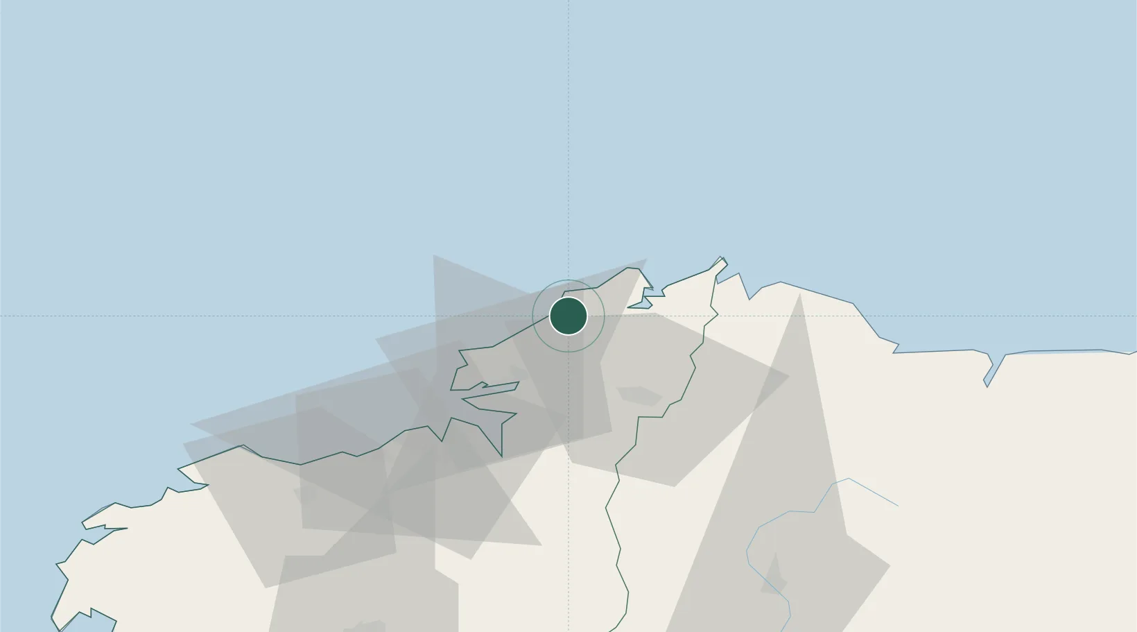
Location
Nearby Logistics Neighbours
Cities
- 1Valdovino9 km
- 2Ortigueira16 km
- 3Narón17 km
- 4Cariño19 km
- 5Mugardos26 km
Ports
- 1Ferrol24 km
- 2La Coruna42 km
- 3San Ciprian50 km
- 4Ribadeo83 km
- 5Villagarcia De Arosa130 km
Airports
- 1A Coruña Airport47 km
- 2Santiago-Rosalía de Castro Airport89 km
- 3Asturias Airport163 km
- 4Vigo Airport165 km
- 5León Int'l Airport227 km
Trade Zones
- 1Depósito Franco de La Coruña43 km
- 2Zona Franca de Vigo168 km
- 3Depósito Franco de Gijón190 km
- 4Zona Livre Tecnológica Masotinhos280 km
- 5VGP Park Santa Maria da Feira305 km
DatabookThe Record of Consolidated Knowledge
Spain beyond logistics?