UN/LOCODE hub · Spain
ESGDC

Granatula de Calatrava
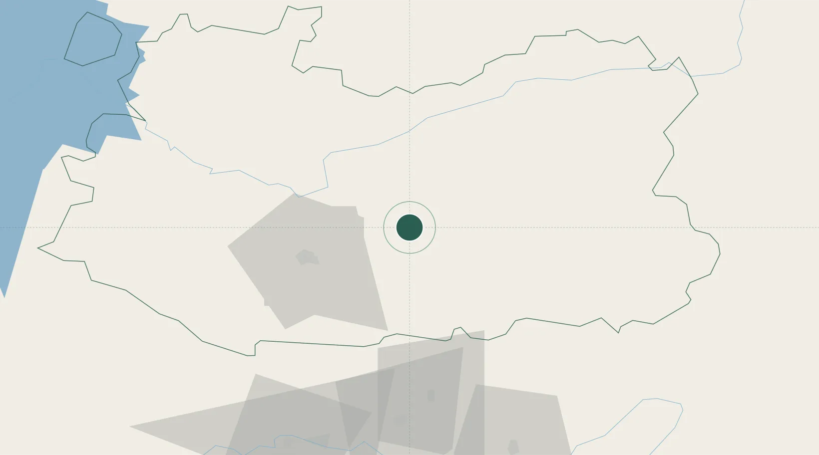
38.8000°, -3.7333°
999
Population
1
Transport functions

Transport Functions

Multimodal
UN/LOCODE

Hub Profile

Place type
Populated place
GeoNames
Region
Castille-La Mancha
GeoNames
Population
999
GeoNames
Time zone
Europe/Madrid
GeoNames
Elevation
660 m
GeoNames

Location

Location of ESGDC
Natural Earth 10m (public domain) · Castille-La Mancha · ESGDC · 38.80, -3.73GoogleOSMYandex

Nearby Logistics Neighbours

Cities
  1. 1Moral de Calatrava14 km
  2. 2Ciudad Real27 km
  3. 3Corral De Calatrava31 km
  4. 4La Solana46 km
  5. 5Villarta de San Juan55 km
Nearest neighbours — logibook spatial index (haversine) over the source coordinates
Ports
  1. 1Motril229 km
  2. 2Adra238 km
  3. 3Malaga239 km
  4. 4Aguilas245 km
  5. 5Almeria245 km
Nearest neighbours — logibook spatial index (haversine) over the source coordinates
Airports
  1. 1Ciudad Real International Airport21 km
  2. 2Córdoba Airport144 km
  3. 3Albacete Airport / Los Llanos Air Base163 km
  4. 4Getafe Air Base166 km
  5. 5Madrid-Cuatro Vientos Airport175 km
Nearest neighbours — logibook spatial index (haversine) over the source coordinates
Trade Zones
  1. 1Depósito Franco de Madrid-Aeropuerto184 km
  2. 2Depósito Franco de Málaga207 km
  3. 3Zona Franca de Sevilla257 km
  4. 4Depósito Franco de Alicante287 km
  5. 5Depósito Franco de Valencia303 km
Nearest neighbours — logibook spatial index (haversine) over the source coordinates
DatabookThe Record of Consolidated Knowledge
Spain beyond logistics?
Browse databook

All Sources

LocationsUN/LOCODE
UN/LOCODE — free
LocationsGeoNames
CC BY 4.0
Portsthe NGA World Port Index
Public domain (US gov)
AirportsOurAirports
Public domain
Trade Zonesthe World Bank SEZ database
CC BY 4.0
Trade ZonesOpen Zone Map
CC BY
← Spain locations