Transport Functions
Rail
Road
Hub Profile
Place type
Populated place
Region
Catalonia
Population
1,020
Time zone
Europe/Madrid
Elevation
458 m
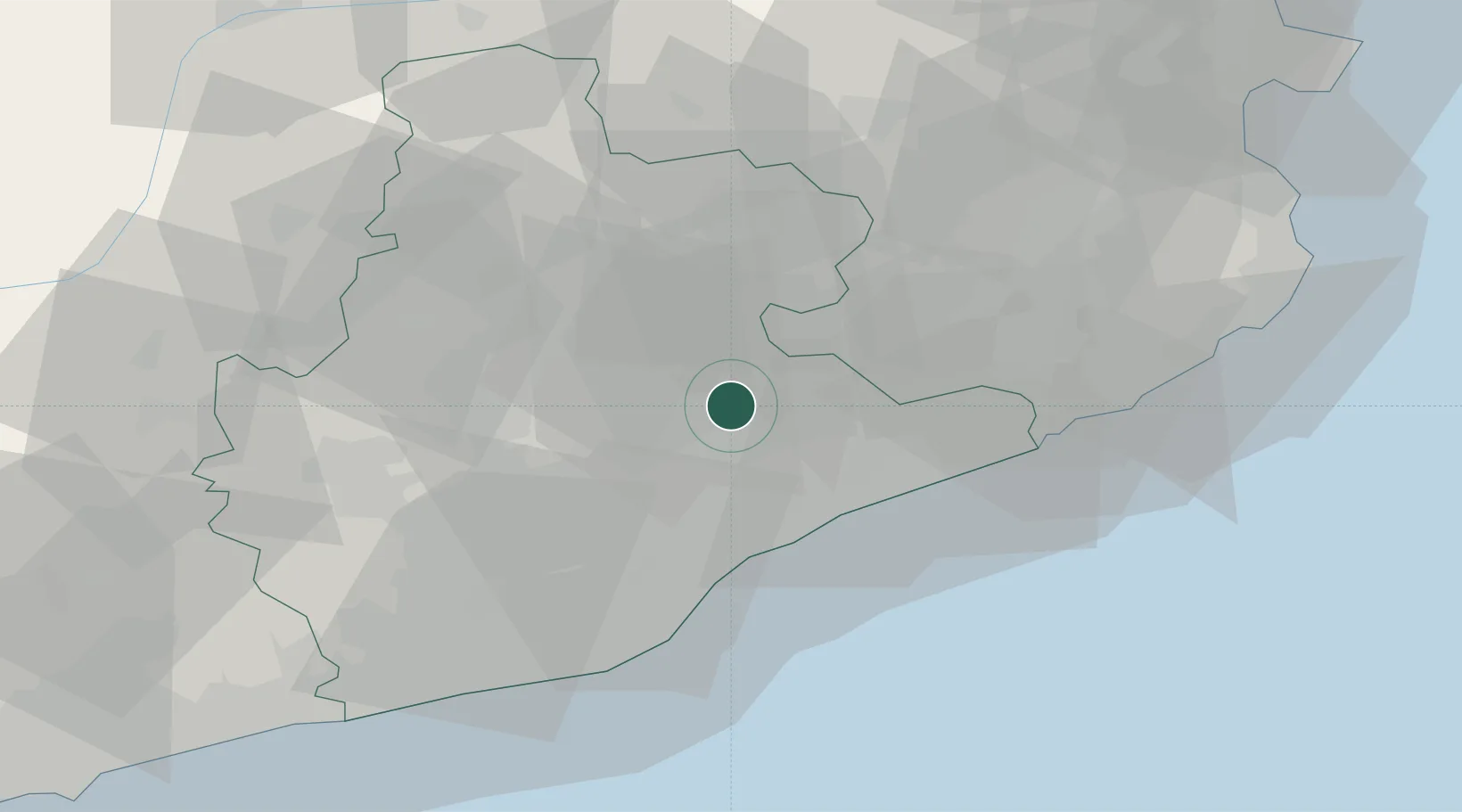
Location
Nearby Logistics Neighbours
Cities
- 1Bigas5 km
- 2Aiguafreda6 km
- 3L'Ametlla del Vallès6 km
- 4San Martin de Centellas7 km
- 5Centelles9 km
Ports
- 1Barcelona42 km
- 2San Feliu De Guixols64 km
- 3Villanueva Y Geltru70 km
- 4Palamos72 km
- 5Rosas97 km
Airports
Trade Zones
- 1Zona Franca de Barcelona44 km
- 2Depósito Franco de Tarragona108 km
- 3ZFU Perpignan121 km
- 4ZFU Béziers196 km
- 5ZFU Toulouse221 km
DatabookThe Record of Consolidated Knowledge
Spain beyond logistics?