Transport Functions
Rail
Road
Hub Profile
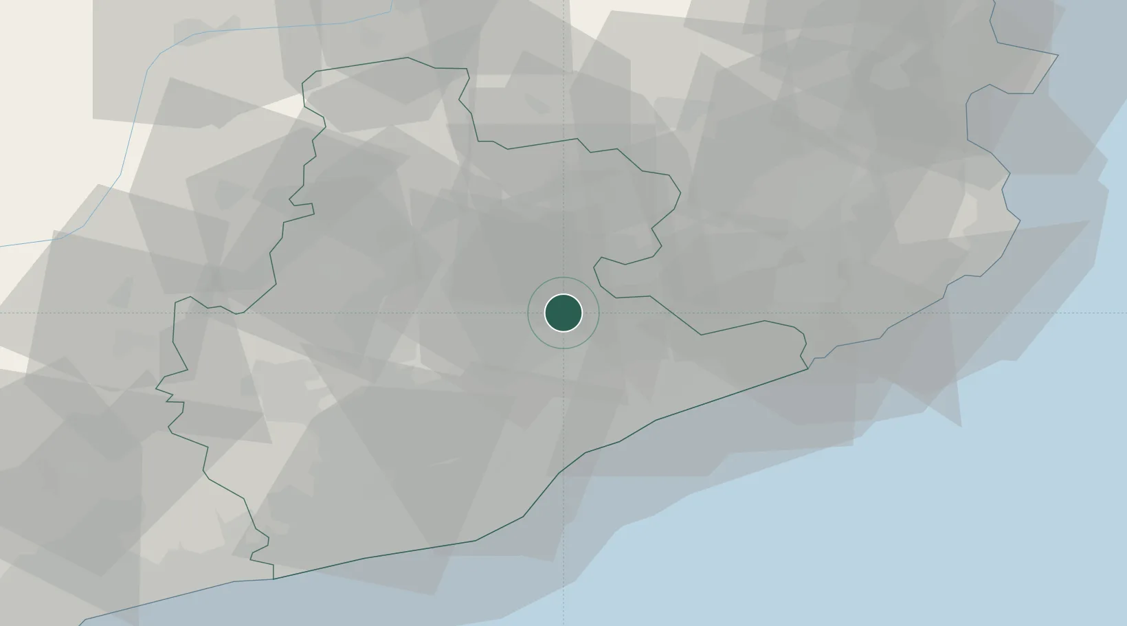
Place type
Populated place
Region
Catalonia
Population
2,308
Time zone
Europe/Madrid
Elevation
524 m
Location
Nearby Logistics Neighbours
Cities
- 1San Martin de Centellas3 km
- 2Centelles3 km
- 3Balenya4 km
- 4Els Hostalets de Balenyá6 km
- 5Figaró6 km
Ports
- 1Barcelona47 km
- 2San Feliu De Guixols65 km
- 3Palamos72 km
- 4Villanueva Y Geltru73 km
- 5Rosas95 km
Airports
Trade Zones
- 1Zona Franca de Barcelona49 km
- 2Depósito Franco de Tarragona111 km
- 3ZFU Perpignan116 km
- 4ZFU Béziers192 km
- 5ZFU Toulouse215 km
DatabookThe Record of Consolidated Knowledge
Spain beyond logistics?