Transport Functions
Rail
Road
Hub Profile
Region
M
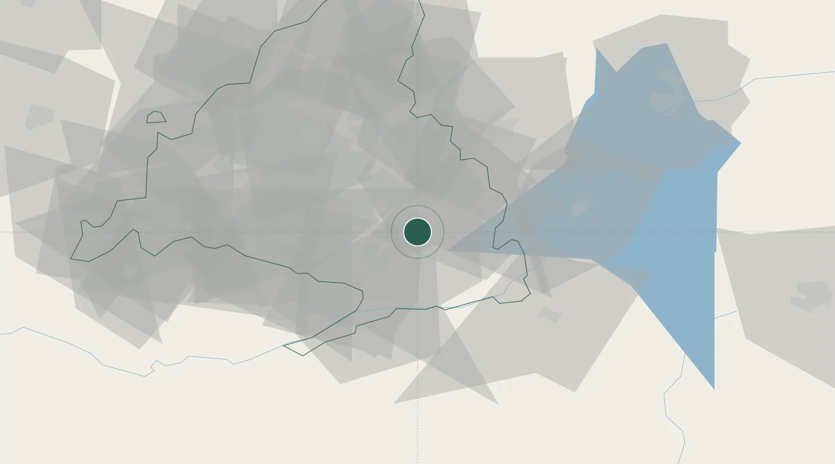
Location
Nearby Logistics Neighbours
Cities
- 1Campo Real6 km
- 2Morata de Tajuña7 km
- 3Velilla de San Antonio9 km
- 4Mejorada del Campo12 km
- 5Tielmes12 km
Ports
- 1Valencia282 km
- 2Sagunto283 km
- 3Burriana292 km
- 4El Grao296 km
- 5Puerto De Gandia316 km
Airports
Trade Zones
DatabookThe Record of Consolidated Knowledge
Spain beyond logistics?