UN/LOCODE hub · Spain
ES7SM

San Martín Del Rey Aurelio

43.2667°, -5.6000°
1
Transport functions

Transport Functions

Multimodal
UN/LOCODE

Hub Profile

Region
O
GeoNames

Location

Location of ES7SM
Natural Earth 10m (public domain) · O · ES7SM · 43.27, -5.60GoogleOSMYandex

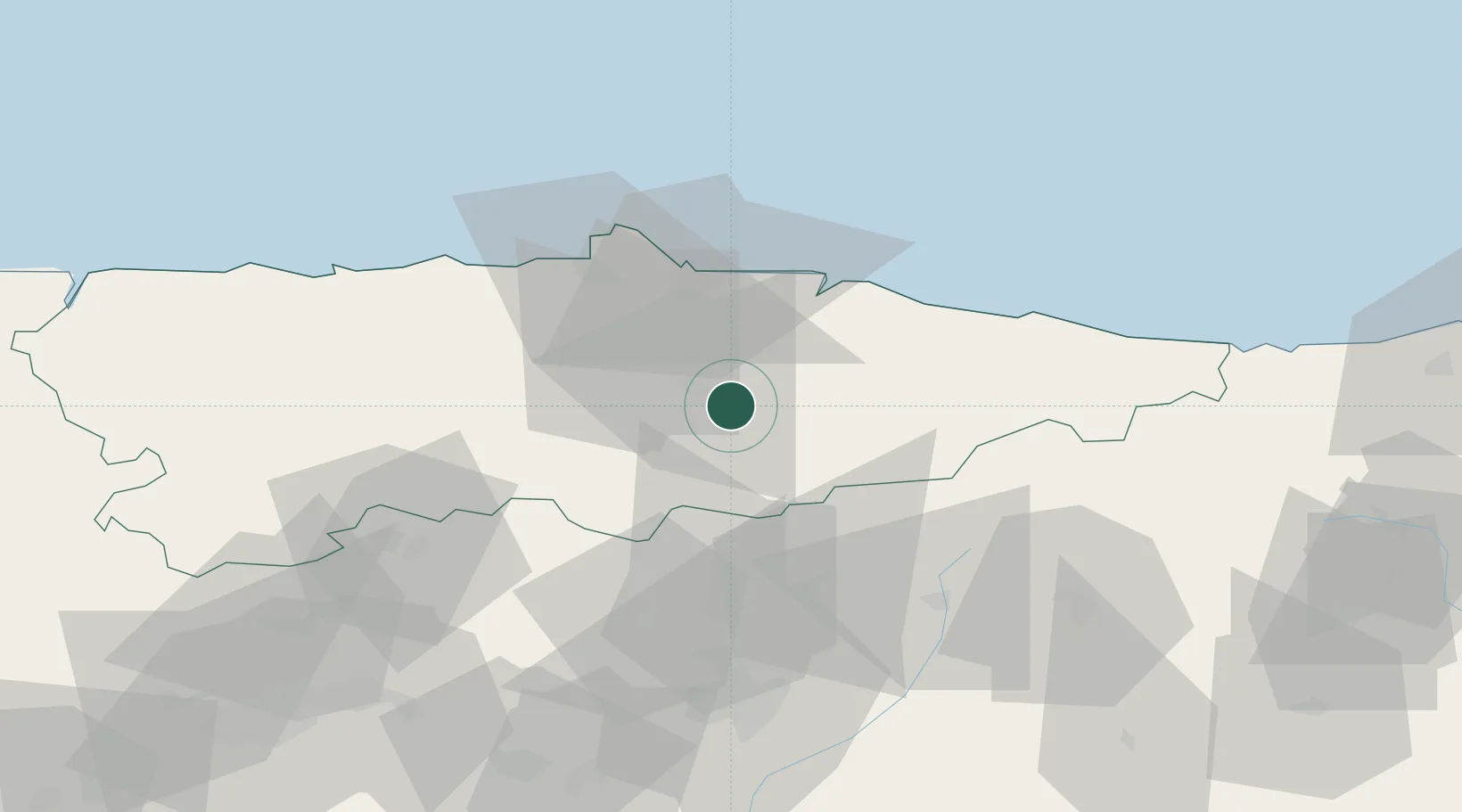
Nearby Logistics Neighbours

Cities
  1. 1Lada9 km
  2. 2Cabañaquinta11 km
  3. 3Caborana15 km
  4. 4Pola de Siero15 km
  5. 5Fonciello17 km
Nearest neighbours — logibook spatial index (haversine) over the source coordinates
Ports
  1. 1Gijon32 km
  2. 2Aviles46 km
  3. 3Ribadeo120 km
  4. 4Santander149 km
  5. 5San Ciprian156 km
Nearest neighbours — logibook spatial index (haversine) over the source coordinates
Airports
  1. 1Asturias Airport48 km
  2. 2León Int'l Airport75 km
  3. 3Seve Ballesteros-Santander Airport145 km
  4. 4Bragança Airport181 km
  5. 5Valladolid Airport184 km
Nearest neighbours — logibook spatial index (haversine) over the source coordinates
Trade Zones
  1. 1Depósito Franco de Gijón34 km
  2. 2Zona Franca de Santander146 km
  3. 3Depósito Franco de Villafría (Burgos)182 km
  4. 4Depósito Franco de Bilbao207 km
  5. 5Depósito Franco de La Coruña226 km
Nearest neighbours — logibook spatial index (haversine) over the source coordinates
DatabookThe Record of Consolidated Knowledge
Spain beyond logistics?
Browse databook

All Sources

LocationsUN/LOCODE
UN/LOCODE — free
Portsthe NGA World Port Index
Public domain (US gov)
AirportsOurAirports
Public domain
Trade Zonesthe World Bank SEZ database
CC BY 4.0
Trade ZonesOpen Zone Map
CC BY
← Spain locations