Transport Functions
Port
Rail
Hub Profile
Place type
Provincial seat
Region
Zealand
Population
17,868
Time zone
Europe/Copenhagen
Elevation
15 m
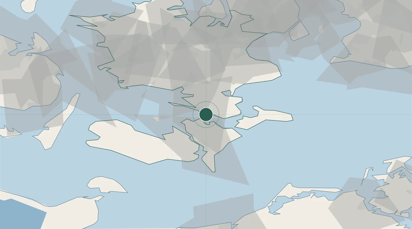
Location
Nearby Logistics Neighbours
Cities
Ports
- 1Stubbekobing16 km
- 2Stege25 km
- 3Nykobing26 km
- 4Naestved28 km
- 5Sakskobing28 km
Airports
Trade Zones
- 1Freeport of Copenhagen- Nordhavn91 km
- 2MTS Malmö Transport and Spedition101 km
- 3Freeport of Kiel133 km
- 4Swinoujscie Duty Free Zone197 km
- 5Szczecin Duty Free Zone247 km
DatabookThe Record of Consolidated Knowledge
Denmark beyond logistics?