Transport Functions
Port
Road
Hub Profile
Region
85
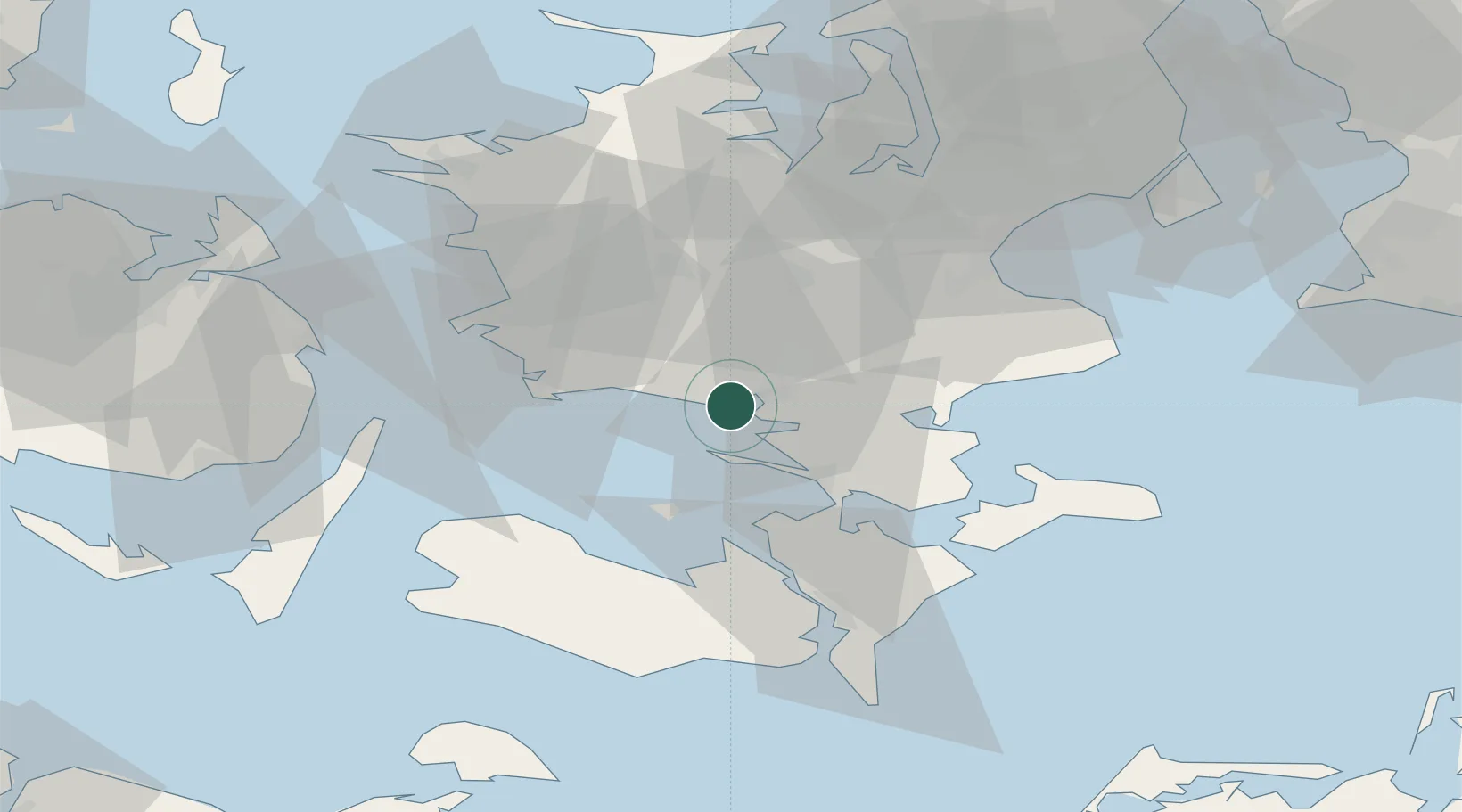
Location
Nearby Logistics Neighbours
Cities
- 1Næstved8 km
- 2Sandved13 km
- 3Holme-Olstrup13 km
- 4Sønder Bjert19 km
- 5Dalmose19 km
Ports
- 1Naestved8 km
- 2Skaelskor24 km
- 3Vordingborg25 km
- 4Gulfhaven26 km
- 5Stigsnaesvaerkets Havn27 km
Airports
Trade Zones
DatabookThe Record of Consolidated Knowledge
Denmark beyond logistics?