Transport Functions
Port
Road
Hub Profile
Place type
Populated place
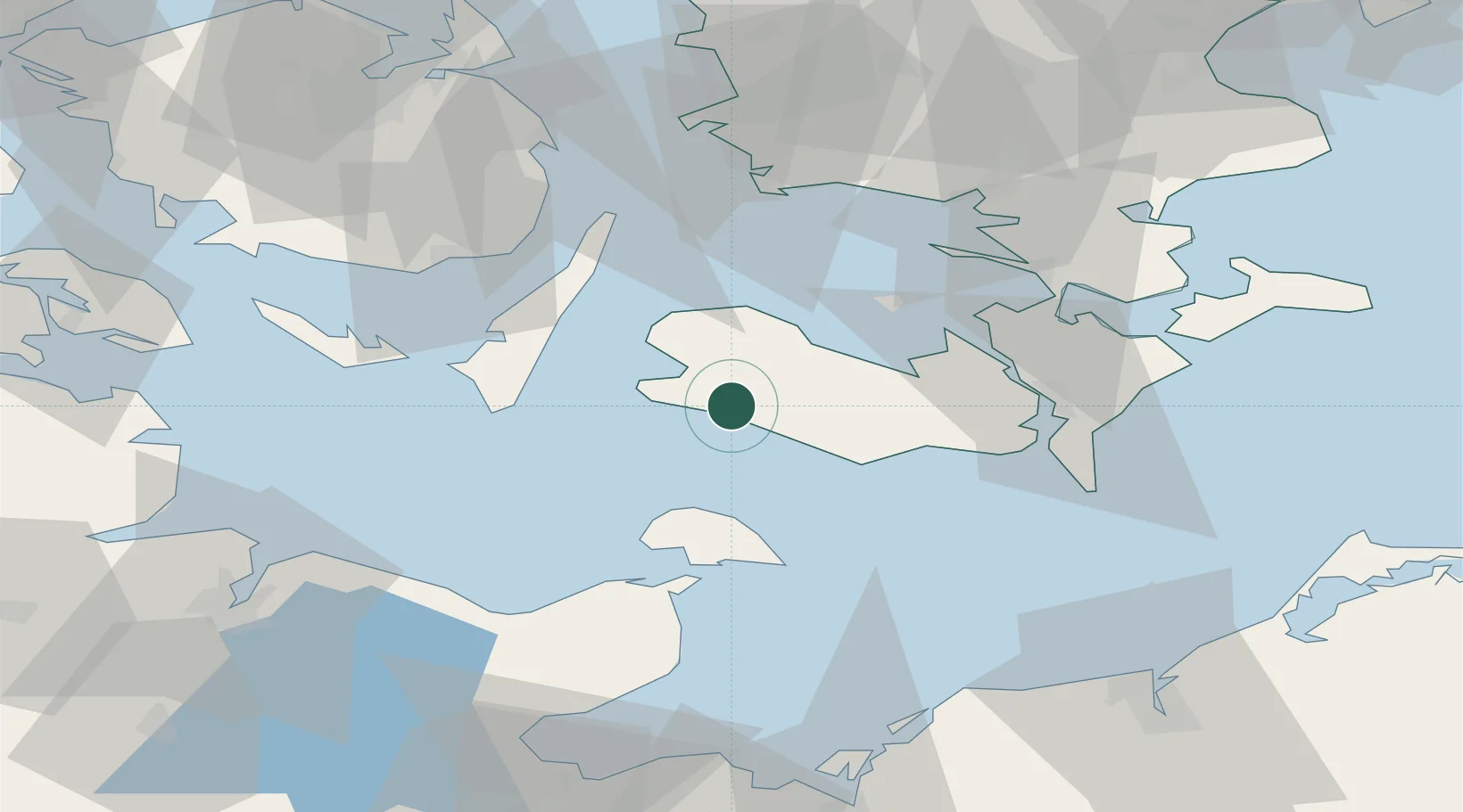
Region
Zealand
Population
406
Time zone
Europe/Copenhagen
Elevation
4 m
Location
Nearby Logistics Neighbours
Cities
- 1Vesterborg12 km
- 2Rødby14 km
- 3Rødbyhavn15 km
- 4Nørreballe16 km
- 5Torrig19 km
Ports
- 1Nakskov10 km
- 2Rodby Havn15 km
- 3Bandholm21 km
- 4Sakskobing28 km
- 5Orth35 km
Airports
- 1Lolland Falster Maribo Airport16 km
- 2Ærø Airfield49 km
- 3Sydfyn (Tasinge) Airfield50 km
- 4Kiel-Holtenau Airport80 km
- 5Ringsted Airfield85 km
Trade Zones
DatabookThe Record of Consolidated Knowledge
Denmark beyond logistics?