About
Methodology
Sources
Licensing
English
EN
English
TR
Türkçe
DE
Deutsch
FR
Français
ES
Español
IT
Italiano
PT
Português
NL
Nederlands
PL
Polski
RU
Русский
UK
Українська
CS
Čeština
RO
Română
EL
Ελληνικά
BG
Български
AR
العربية
FA
فارسی
UR
اردو
HI
हिन्दी
BN
বাংলা
ID
Bahasa Indonesia
VI
Tiếng Việt
ZH
中文
JA
日本語
KO
한국어
logibook
/
Countries
/
China
/
Locations
/
Shanghai Pt
UN/LOCODE hub ·
China
CN
SHG
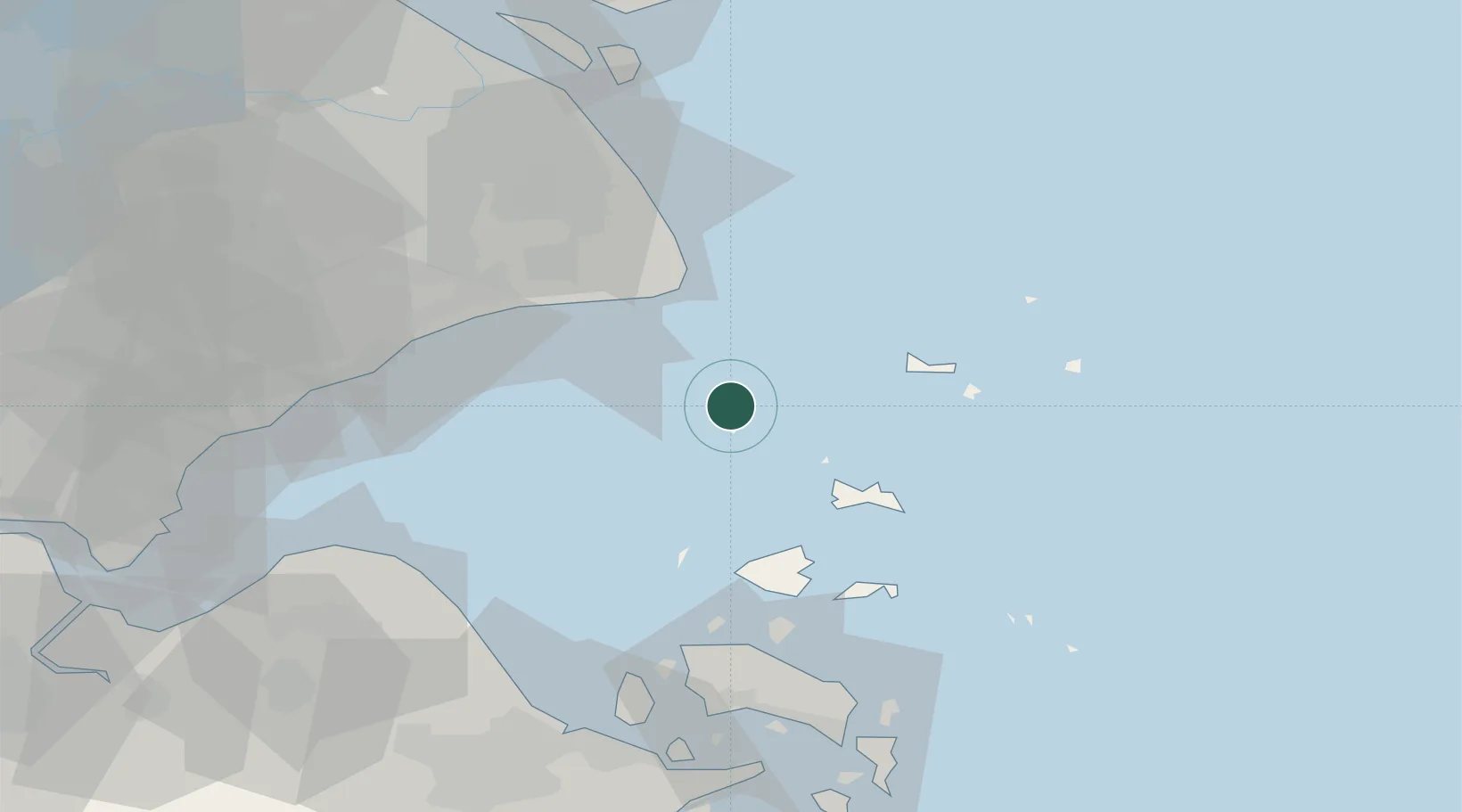
Shanghai Pt
30.6333°, 122.0667°
1
Transport functions
Transport Functions
Port
UN/LOCODE
Hub Profile
Region
SH
GeoNames
Logistics facilities
5
UN/LOCODE
Location
Natural Earth 10m (public domain) · SH · CNSHG · 30.63, 122.07
Google ↗
OSM ↗
Yandex ↗
Nearby Logistics Neighbours
Cities
1
Maji Shan
32 km
2
Shanghai
52 km
3
Nanhui
55 km
4
Lü-hua Shan
56 km
5
Jixian
61 km
Nearest neighbours — logibook spatial index (haversine) over the source coordinates
Ports
1
Zhoushan
71 km
2
Zhen Hai
84 km
3
Shanghai
84 km
4
Zhapu
94 km
5
Ningbo
97 km
Nearest neighbours — logibook spatial index (haversine) over the source coordinates
Airports
1
Daishan Air Base
39 km
2
Shanghai Pudong International Airport
62 km
3
Zhoushan Putuoshan International Airport
83 km
4
Ningbo Zhuangqiao Air Base
92 km
5
Shanghai Hongqiao International Airport
94 km
Nearest neighbours — logibook spatial index (haversine) over the source coordinates
Trade Zones
1
Yangshan Free Trade Port Area
32 km
2
China (Zhejiang) Pilot Free Trade Zone
50 km
3
Pudong Airport Industrial Park
62 km
4
Fengcheng Industrial Park
64 km
5
Fengxian Economic Development Zone
67 km
Nearest neighbours — logibook spatial index (haversine) over the source coordinates
Data
book
The Record of Consolidated Knowledge
China beyond logistics?
Browse databook
→
All Sources
Locations
UN/LOCODE
UN/LOCODE — free
↗
Ports
the NGA World Port Index
Public domain (US gov)
↗
Airports
OurAirports
Public domain
↗
Trade Zones
the World Bank SEZ database
CC BY 4.0
↗
Trade Zones
Open Zone Map
CC BY
↗
← China locations