About
Methodology
Sources
Licensing
English
EN
English
TR
Türkçe
DE
Deutsch
FR
Français
ES
Español
IT
Italiano
PT
Português
NL
Nederlands
PL
Polski
RU
Русский
UK
Українська
CS
Čeština
RO
Română
EL
Ελληνικά
BG
Български
AR
العربية
FA
فارسی
UR
اردو
HI
हिन्दी
BN
বাংলা
ID
Bahasa Indonesia
VI
Tiếng Việt
ZH
中文
JA
日本語
KO
한국어
logibook
/
Countries
/
China
/
Locations
/
Lü-hua Shan
UN/LOCODE hub ·
China
CN
LUH
Lü-hua Shan
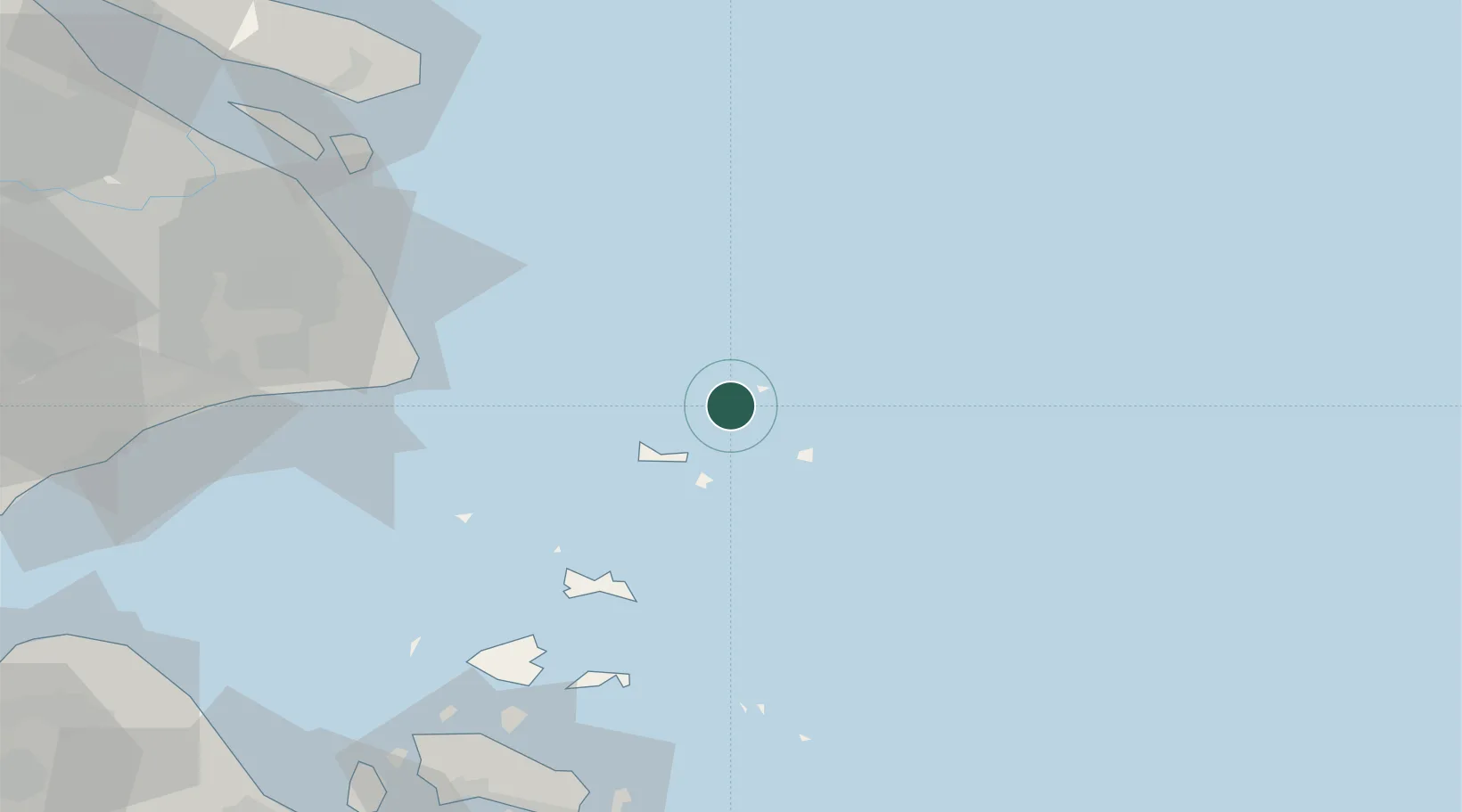
30.8167°, 122.6167°
1
Transport functions
Transport Functions
Port
UN/LOCODE
Hub Profile
Region
ZJ
GeoNames
Location
Natural Earth 10m (public domain) · ZJ · CNLUH · 30.82, 122.62
Google ↗
OSM ↗
Yandex ↗
Nearby Logistics Neighbours
Cities
1
Maji Shan
27 km
2
Shanghai Pt
56 km
3
Shanghai
81 km
4
Nanhui
87 km
5
Zhoushan
91 km
Nearest neighbours — logibook spatial index (haversine) over the source coordinates
Ports
1
Zhoushan
103 km
2
Shanghai
115 km
3
Zhen Hai
131 km
4
Ningbo
146 km
5
Zhapu
149 km
Nearest neighbours — logibook spatial index (haversine) over the source coordinates
Airports
1
Daishan Air Base
74 km
2
Shanghai Pudong International Airport
86 km
3
Zhoushan Putuoshan International Airport
101 km
4
Shanghai Dachang Air Base
128 km
5
Shanghai Hongqiao International Airport
129 km
Nearest neighbours — logibook spatial index (haversine) over the source coordinates
Trade Zones
1
Yangshan Free Trade Port Area
70 km
2
Pudong Airport Industrial Park
87 km
3
China (Zhejiang) Pilot Free Trade Zone
93 km
4
Zhejiang Zhoushan Islands New Area
103 km
5
Fengxian Park, Zhangjiang High-tech Zone
104 km
Nearest neighbours — logibook spatial index (haversine) over the source coordinates
Data
book
The Record of Consolidated Knowledge
China beyond logistics?
Browse databook
→
All Sources
Locations
UN/LOCODE
UN/LOCODE — free
↗
Ports
the NGA World Port Index
Public domain (US gov)
↗
Airports
OurAirports
Public domain
↗
Trade Zones
the World Bank SEZ database
CC BY 4.0
↗
Trade Zones
Open Zone Map
CC BY
↗
← China locations