UN/LOCODE hub · China
CNSGH
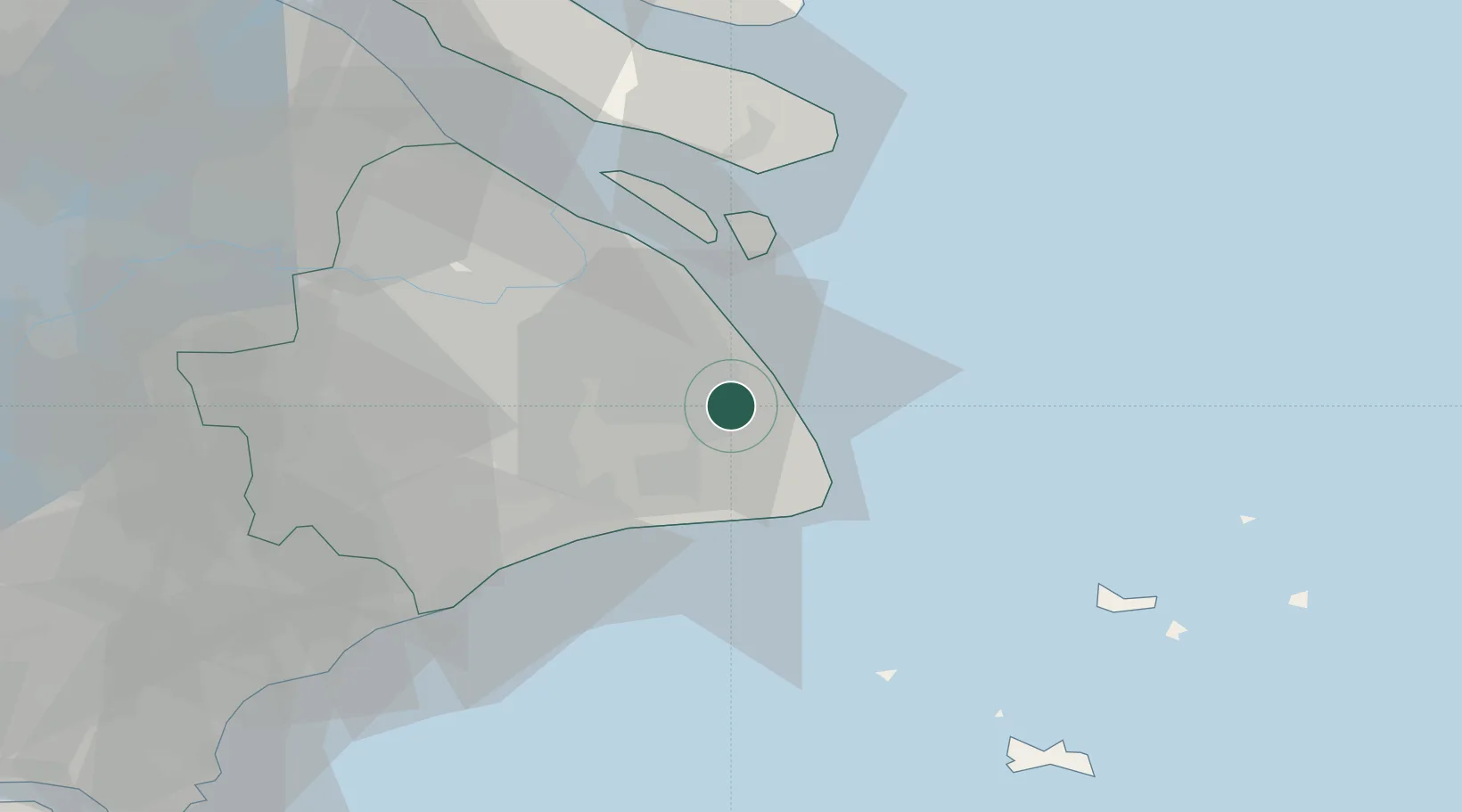
Shanghai
31.0444°, 121.8056°
24,874,500
Population
5
Transport functions
7
Container terminals
Transport Functions
Port
Rail
Road
Airport
Postal
Hub Profile
Place type
Regional capital
Region
Shanghai
Population
24,874,500
Time zone
Asia/Shanghai
Elevation
12 m
Logistics facilities
20
Container terminals
7
Location
Nearby Logistics Neighbours
Cities
- 1Nanhui5 km
- 2Jinqiao30 km
- 3Pudong/Shanghai36 km
- 4Fengxian37 km
- 5Caojing48 km
Airports
DatabookThe Record of Consolidated Knowledge
China beyond logistics?