Transport Functions
Multimodal
Hub Profile
Place type
Populated place
Region
Zhejiang
Time zone
Asia/Shanghai
Elevation
4 m
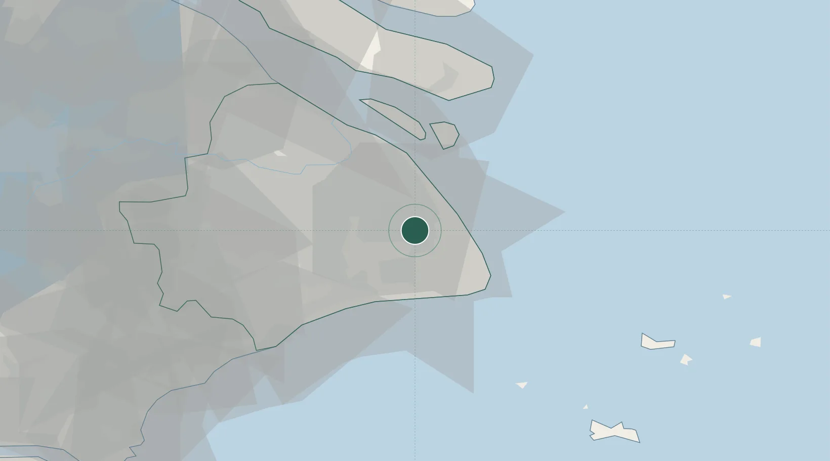
Location
Nearby Logistics Neighbours
Cities
- 1Shanghai5 km
- 2Jinqiao26 km
- 3Pudong/Shanghai31 km
- 4Fengxian32 km
- 5Caojing45 km
Airports
DatabookThe Record of Consolidated Knowledge
China beyond logistics?