Export Processing Zone · China

Songjiang Economic Development Zone Active
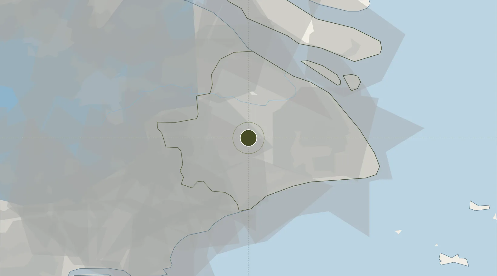
31.0571°, 121.3215°
5,777 ha
Zone area
24.6 km
Nearest port
15.7 km
Nearest airport

Gateway access

Nearest neighbours — logibook spatial index (haversine) over the source coordinates

Zone profile

Zone type
Export Processing Zone
Open Zone Map
Region
Shanghai
Open Zone Map
Status
Active
Open Zone Map
Management
Public
Open Zone Map
Operator
Management Committee of Songjiang Economic Development Zone
Open Zone Map
Legal framework
Construction was officially started in July 1992
Open Zone Map

Location

Location of ozm-1437
Natural Earth 10m (public domain) · Shanghai · ozm-1437 · 31.06, 121.32GoogleOSMYandex

Nearby Logistics Neighbours

Ports
  1. 1Shanghai25 km
  2. 2Zhapu57 km
  3. 3Taicang67 km
  4. 4Changshu86 km
  5. 5Nantong116 km
Nearest neighbours — logibook spatial index (haversine) over the source coordinates
Airports
  1. 1Shanghai Hongqiao International Airport16 km
  2. 2Shanghai Dachang Air Base31 km
  3. 3Shanghai Pudong International Airport47 km
  4. 4Chenghu General Airport54 km
  5. 5Jiaxing Nanhu Airport75 km
Nearest neighbours — logibook spatial index (haversine) over the source coordinates
Cities
  1. 1Songjiang10 km
  2. 2Fengxian20 km
  3. 3Jinshan24 km
  4. 4Pudong/Shanghai26 km
  5. 5Caojing31 km
Nearest neighbours — logibook spatial index (haversine) over the source coordinates
DatabookThe Record of Consolidated Knowledge
China beyond logistics?
Browse databook

All Sources

Trade ZonesOpen Zone Map
CC BY
Portsthe NGA World Port Index
Public domain (US gov)
AirportsOurAirports
Public domain
LocationsUN/LOCODE
UN/LOCODE — free
← China trade zones