About
Methodology
Sources
Licensing
English
EN
English
TR
Türkçe
DE
Deutsch
FR
Français
ES
Español
IT
Italiano
PT
Português
NL
Nederlands
PL
Polski
RU
Русский
UK
Українська
CS
Čeština
RO
Română
EL
Ελληνικά
BG
Български
AR
العربية
FA
فارسی
UR
اردو
HI
हिन्दी
BN
বাংলা
ID
Bahasa Indonesia
VI
Tiếng Việt
ZH
中文
JA
日本語
KO
한국어
logibook
/
Countries
/
China
/
Locations
/
Jinshan
UN/LOCODE hub ·
China
CN
JNS
Jinshan
30.9000°, 121.1500°
1
Transport functions
Transport Functions
Multimodal
UN/LOCODE
Hub Profile
Place type
Populated place
GeoNames
Region
Zhejiang
GeoNames
Time zone
Asia/Shanghai
GeoNames
Elevation
10 m
GeoNames
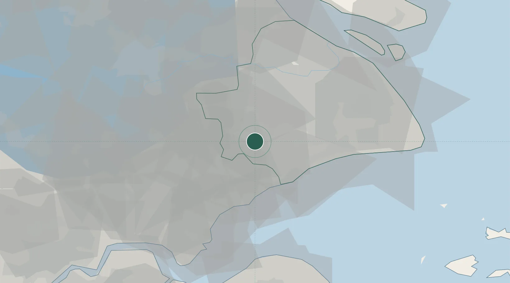
Location
Natural Earth 10m (public domain) · Zhejiang · CNJNS · 30.90, 121.15
Google ↗
OSM ↗
Yandex ↗
Nearby Logistics Neighbours
Cities
1
Songjiang
15 km
2
Caojing
27 km
3
Pinghu
28 km
4
Fengxian
29 km
5
Jixian
34 km
Nearest neighbours — logibook spatial index (haversine) over the source coordinates
Ports
1
Zhapu
36 km
2
Shanghai
49 km
3
Taicang
84 km
4
Changshu
98 km
5
Zhen Hai
118 km
Nearest neighbours — logibook spatial index (haversine) over the source coordinates
Airports
1
Shanghai Hongqiao International Airport
38 km
2
Chenghu General Airport
49 km
3
Jiaxing Nanhu Airport
52 km
4
Shanghai Dachang Air Base
53 km
5
Shanghai Pudong International Airport
68 km
Nearest neighbours — logibook spatial index (haversine) over the source coordinates
Trade Zones
1
Zhangjiang High-tech Zone Jinshan Park
12 km
2
Shanghai Songjiang Export Processing Zone
17 km
3
Jiashan Economic and Technological Development Zone
20 km
4
Songjiang Economic Development Zone
24 km
5
Shanghai Minhang National Economic and Technological Development Zone
26 km
Nearest neighbours — logibook spatial index (haversine) over the source coordinates
Data
book
The Record of Consolidated Knowledge
China beyond logistics?
Browse databook
→
All Sources
Locations
UN/LOCODE
UN/LOCODE — free
↗
Ports
the NGA World Port Index
Public domain (US gov)
↗
Airports
OurAirports
Public domain
↗
Trade Zones
the World Bank SEZ database
CC BY 4.0
↗
Trade Zones
Open Zone Map
CC BY
↗
← China locations