Transport Functions
Port
Hub Profile
Place type
District seat
Region
Heilongjiang
Population
30,000
Time zone
Asia/Shanghai
Elevation
51 m
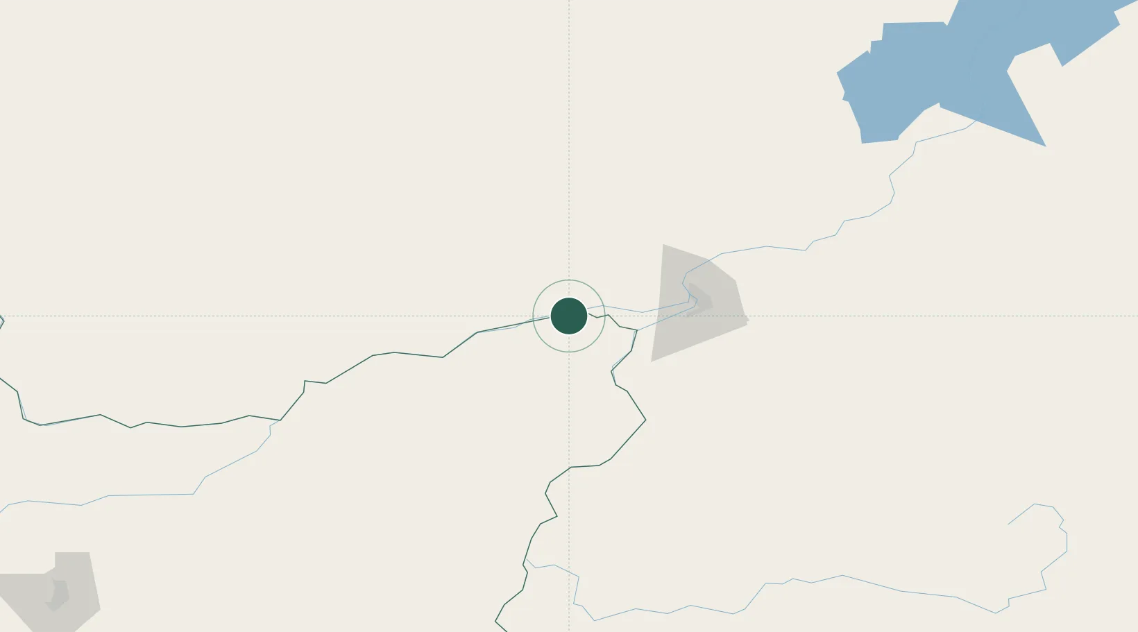
Location
Nearby Logistics Neighbours
Cities
- 1Khabarovsk62 km
- 2March74 km
- 3Tongjiang155 km
- 4Raohe174 km
- 5Fujin209 km
Ports
- 1Sovetskaya Gavan444 km
- 2Bukhta Vanino446 km
- 3De Kastri579 km
- 4Nevelsk598 km
- 5Vladivostok612 km
Airports
- 1Fuyuan Dongji Airport18 km
- 2Khabarovsk Novy Airport69 km
- 3Bichevaya Airport120 km
- 4Jiansanjiang Shidi Airport185 km
- 5Dalnerechensk Airport278 km
DatabookThe Record of Consolidated Knowledge
China beyond logistics?