Transport Functions
Multimodal
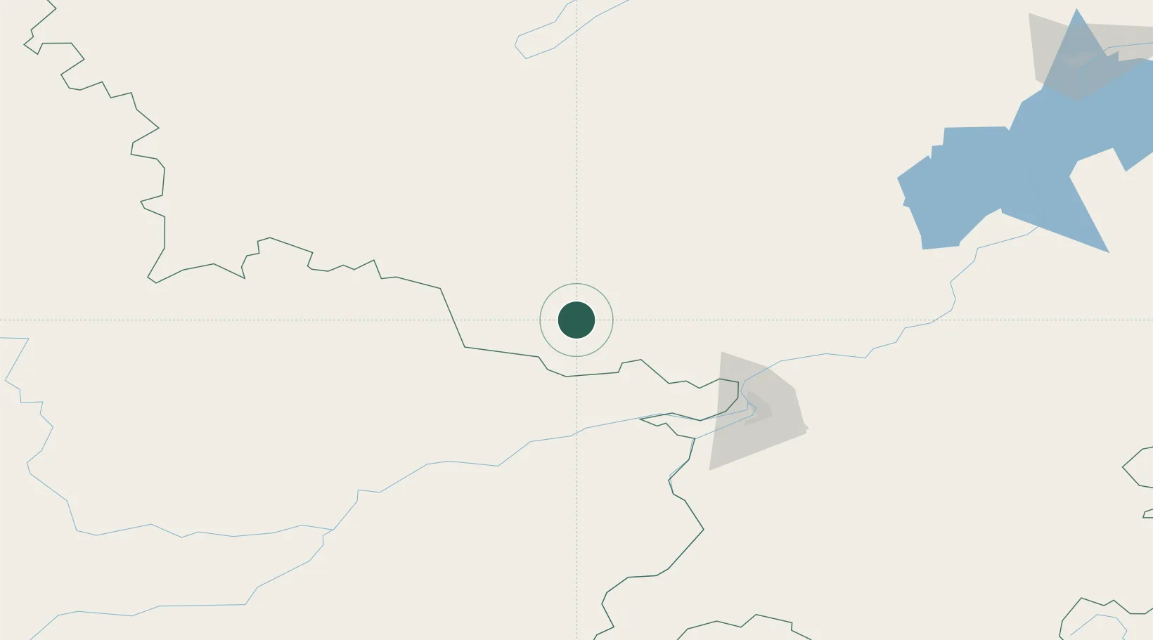
Hub Profile
Place type
Populated place
Region
Bavaria
Time zone
Europe/Berlin
Elevation
661 m
Location
Nearby Logistics Neighbours
Cities
- 1Fuyuan74 km
- 2Khabarovsk102 km
- 3Tongjiang185 km
- 4Krupka212 km
- 5Künzing235 km
Ports
- 1Sovetskaya Gavan457 km
- 2Bukhta Vanino458 km
- 3De Kastri556 km
- 4Lazarev640 km
- 5Nevelsk641 km
Airports
- 1Fuyuan Dongji Airport91 km
- 2Khabarovsk Novy Airport101 km
- 3Bichevaya Airport183 km
- 4Jiansanjiang Shidi Airport231 km
- 5Komsomolsk-on-Amur Airport264 km
DatabookThe Record of Consolidated Knowledge
Germany beyond logistics?