Transport Functions
Port
Rail
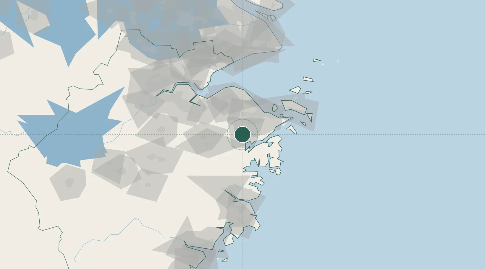
Hub Profile
Place type
District seat
Region
Zhejiang
Population
76,653
Time zone
Asia/Shanghai
Elevation
17 m
Location
Nearby Logistics Neighbours
Airports
DatabookThe Record of Consolidated Knowledge
China beyond logistics?