Transport Functions
Port
Road
Airport
Hub Profile
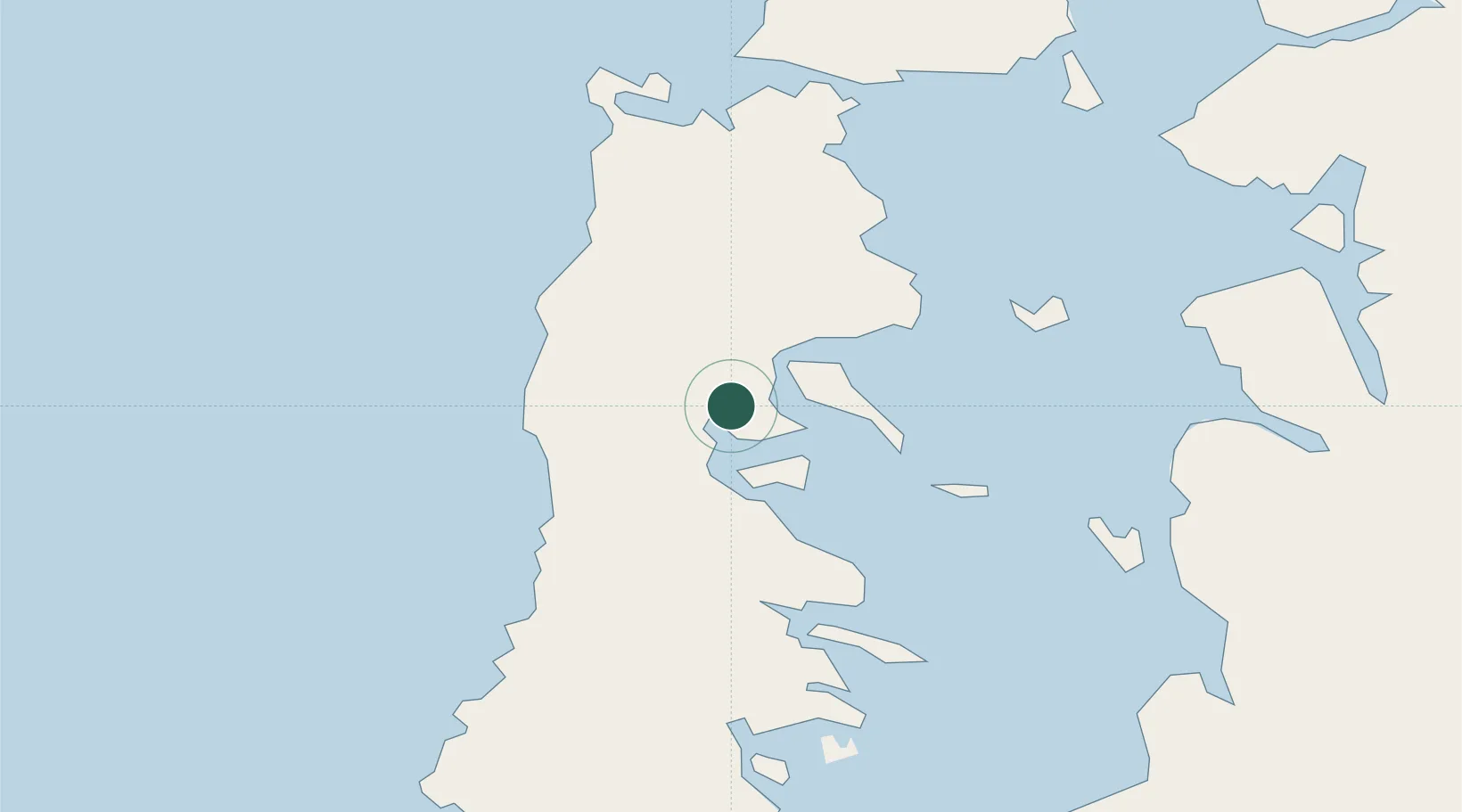
Place type
Populated place
Region
Los Lagos Region
Population
41,667
Time zone
America/Santiago
Elevation
81 m
Location
Nearby Logistics Neighbours
Cities
- 1Rauco8 km
- 2Dalcahue12 km
- 3Chonchi15 km
- 4Curaco de Vélez17 km
- 5Puqueldón17 km
Ports
- 1Puerto Quemchi42 km
- 2Puerto Montt128 km
- 3Puerto De Corral290 km
- 4Bahia De Valdivia300 km
- 5Puerto Chacabuco342 km
Airports
- 1Mocopulli Airport15 km
- 2Nuevo Chaitén Airport84 km
- 3El Tepual International Airport127 km
- 4El Bolsón Airfield193 km
- 5Cañal Bajo Carlos Hott Siebert Airport215 km
Trade Zones
DatabookThe Record of Consolidated Knowledge
Chile beyond logistics?