Transport Functions
Multimodal
Hub Profile
Region
LI
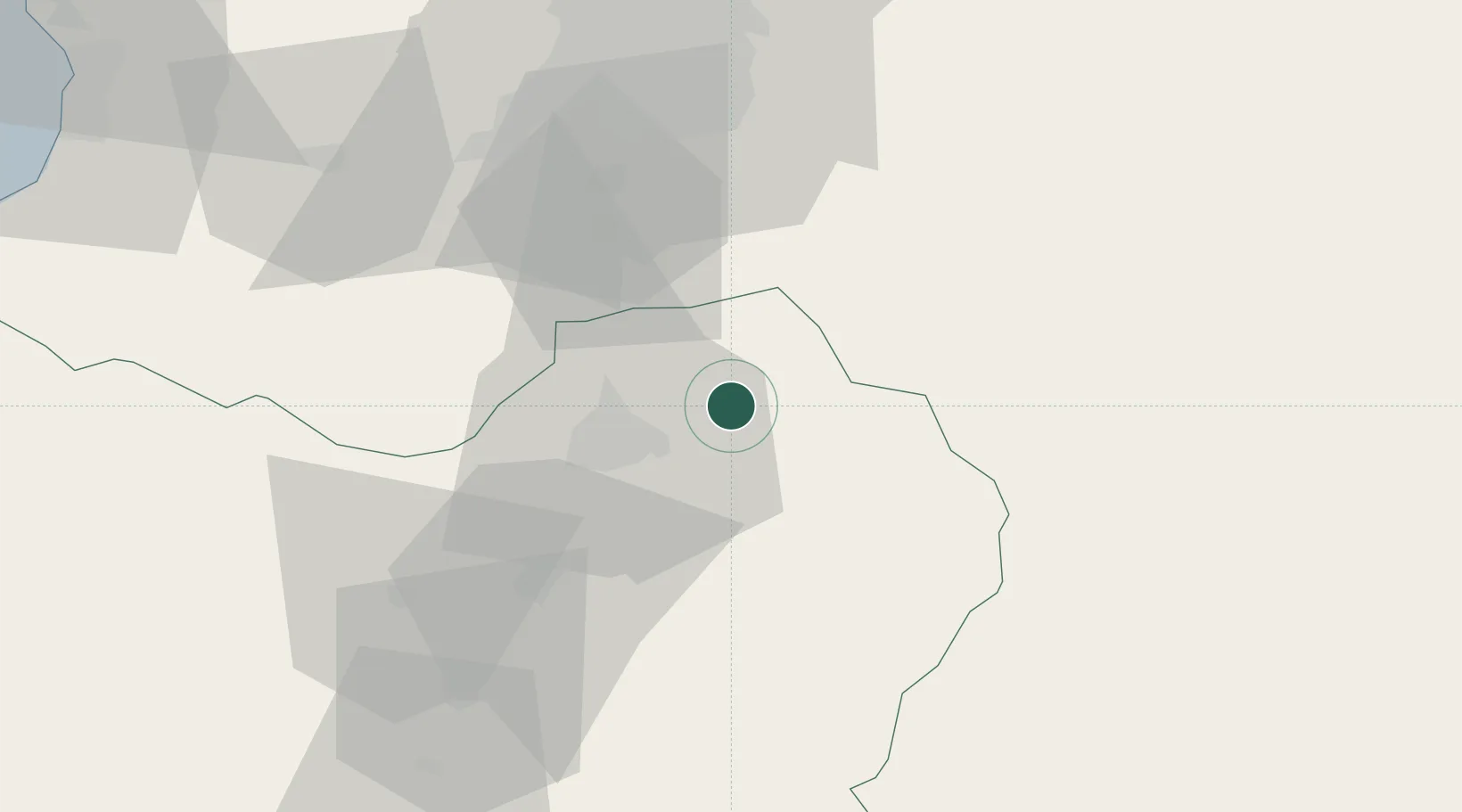
Location
Nearby Logistics Neighbours
Cities
- 1Rancagua19 km
- 2San Francisco de Mostazal23 km
- 3Requínoa36 km
- 4Olivar37 km
- 5Malloa56 km
Ports
- 1Puerto San Antonio117 km
- 2Bahia De Valparaiso156 km
- 3Bahia Quintero (Ventanas)176 km
- 4Lirquen367 km
- 5Penco368 km
Airports
Trade Zones
DatabookThe Record of Consolidated Knowledge
Chile beyond logistics?