Transport Functions
Multimodal
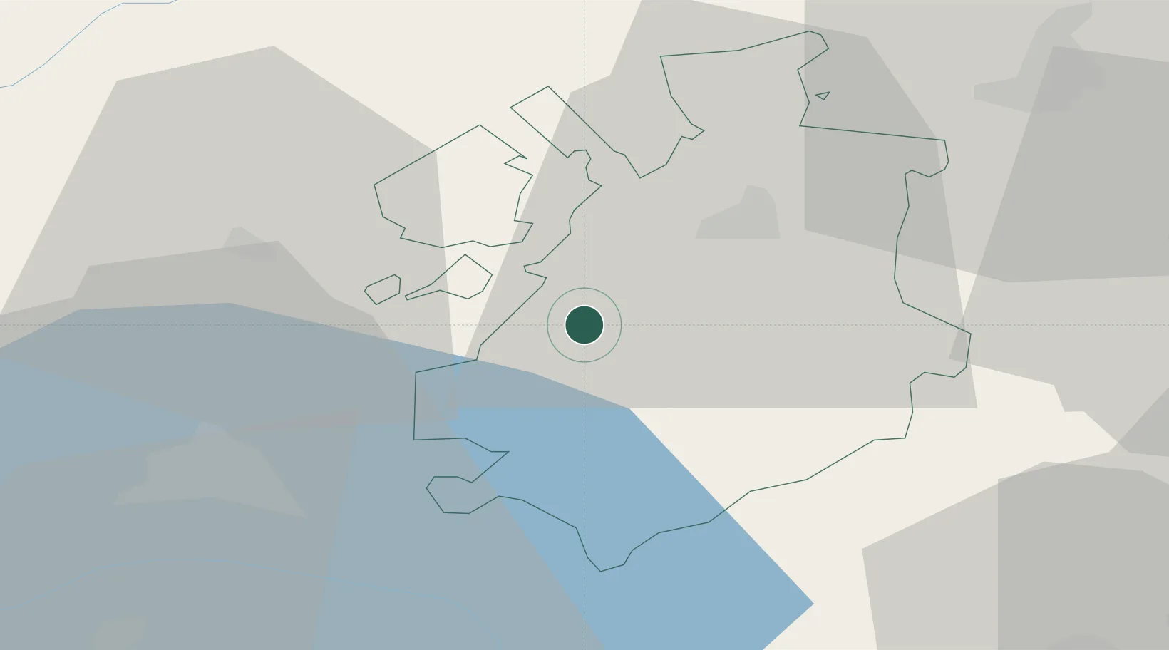
Hub Profile
Region
FR
Location
Nearby Logistics Neighbours
Cities
- 1Villaz-Saint-Pierre2 km
- 2Sorens5 km
- 3Billens8 km
- 4Ecuvillens9 km
- 5Vuadens10 km
Ports
- 1Savona290 km
- 2Rada Di Vado294 km
- 3Genova297 km
- 4Chiavari - Lavagna323 km
- 5Imperia324 km
Airports
- 1Payerne Air Base17 km
- 2Les Eplatures Airport45 km
- 3Bern Airport46 km
- 4Sion Airport60 km
- 5Grenchen Airfield63 km
DatabookThe Record of Consolidated Knowledge
Switzerland beyond logistics?