Transport Functions
Rail
Road
Hub Profile
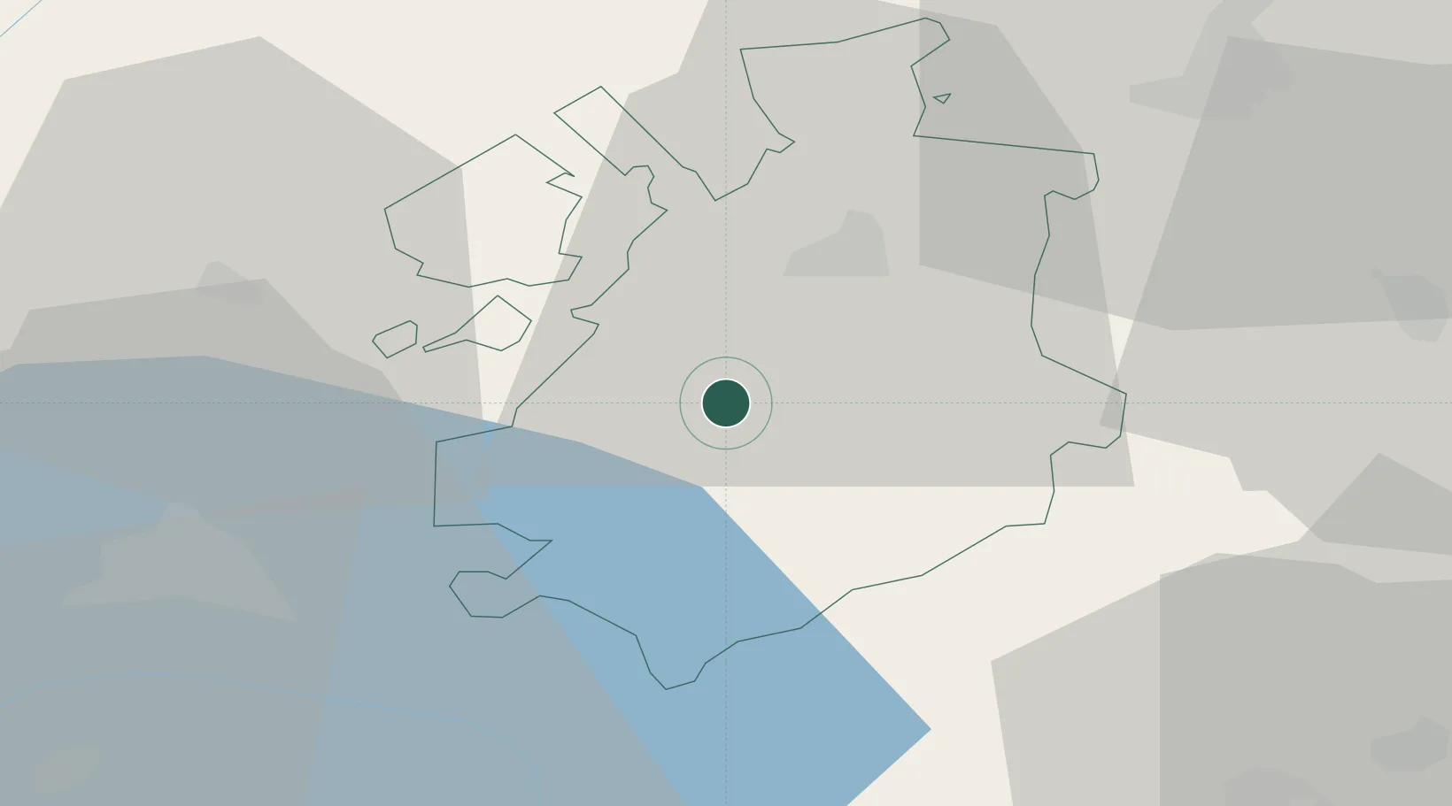
Place type
Populated place
Region
Fribourg
Population
837
Time zone
Europe/Zurich
Elevation
852 m
Location
Nearby Logistics Neighbours
Cities
- 1Villorsonnens5 km
- 2Villaz-Saint-Pierre7 km
- 3Ecuvillens8 km
- 4Vuadens8 km
- 5Broc10 km
Ports
- 1Savona286 km
- 2Rada Di Vado290 km
- 3Genova293 km
- 4Chiavari - Lavagna318 km
- 5Imperia321 km
Airports
- 1Payerne Air Base21 km
- 2Bern Airport43 km
- 3Les Eplatures Airport49 km
- 4Sion Airport56 km
- 5Grenchen Airfield62 km
DatabookThe Record of Consolidated Knowledge
Switzerland beyond logistics?