Transport Functions
Rail
Road
Multimodal
Hub Profile
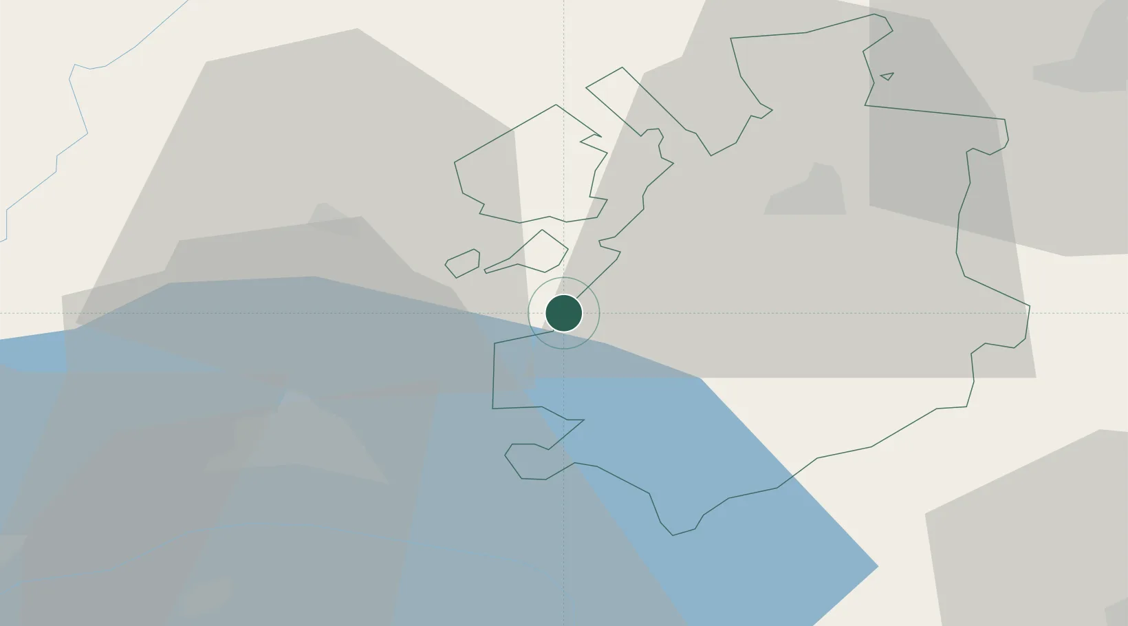
Place type
Populated place
Region
Fribourg
Time zone
Europe/Zurich
Elevation
738 m
Location
Nearby Logistics Neighbours
Cities
- 1Siviriez2 km
- 2Henniez6 km
- 3Moudon7 km
- 4Villaz-Saint-Pierre7 km
- 5Villorsonnens8 km
Ports
- 1Savona292 km
- 2Rada Di Vado295 km
- 3Genova300 km
- 4Imperia324 km
- 5Chiavari - Lavagna326 km
Airports
- 1Payerne Air Base18 km
- 2Les Eplatures Airport45 km
- 3Bern Airport53 km
- 4Sion Airport62 km
- 5Grenchen Airfield69 km
DatabookThe Record of Consolidated Knowledge
Switzerland beyond logistics?