Transport Functions
Multimodal
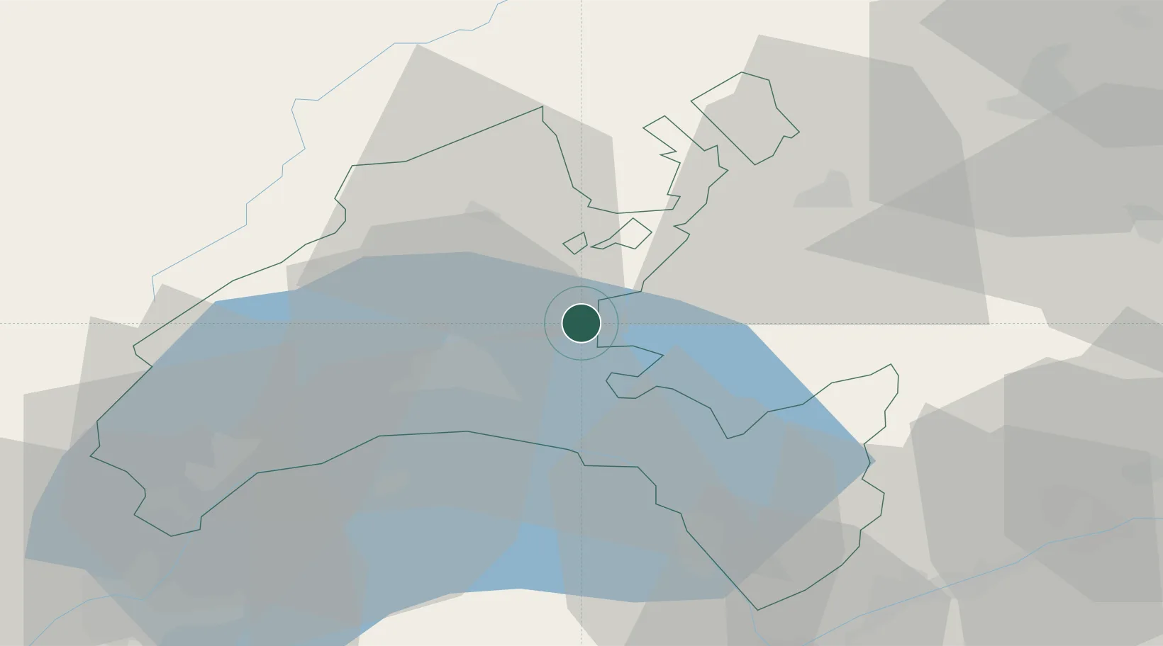
Hub Profile
Place type
Populated place
Region
Vaud
Time zone
Europe/Zurich
Elevation
733 m
Location
Nearby Logistics Neighbours
Ports
- 1Savona289 km
- 2Rada Di Vado292 km
- 3Genova298 km
- 4Imperia319 km
- 5San Remo321 km
Airports
- 1Payerne Air Base27 km
- 2Les Eplatures Airport52 km
- 3Sion Airport61 km
- 4Annemasse Airfield62 km
- 5Bern Airport64 km
DatabookThe Record of Consolidated Knowledge
Switzerland beyond logistics?