Transport Functions
Road
Multimodal
Hub Profile
Region
SO
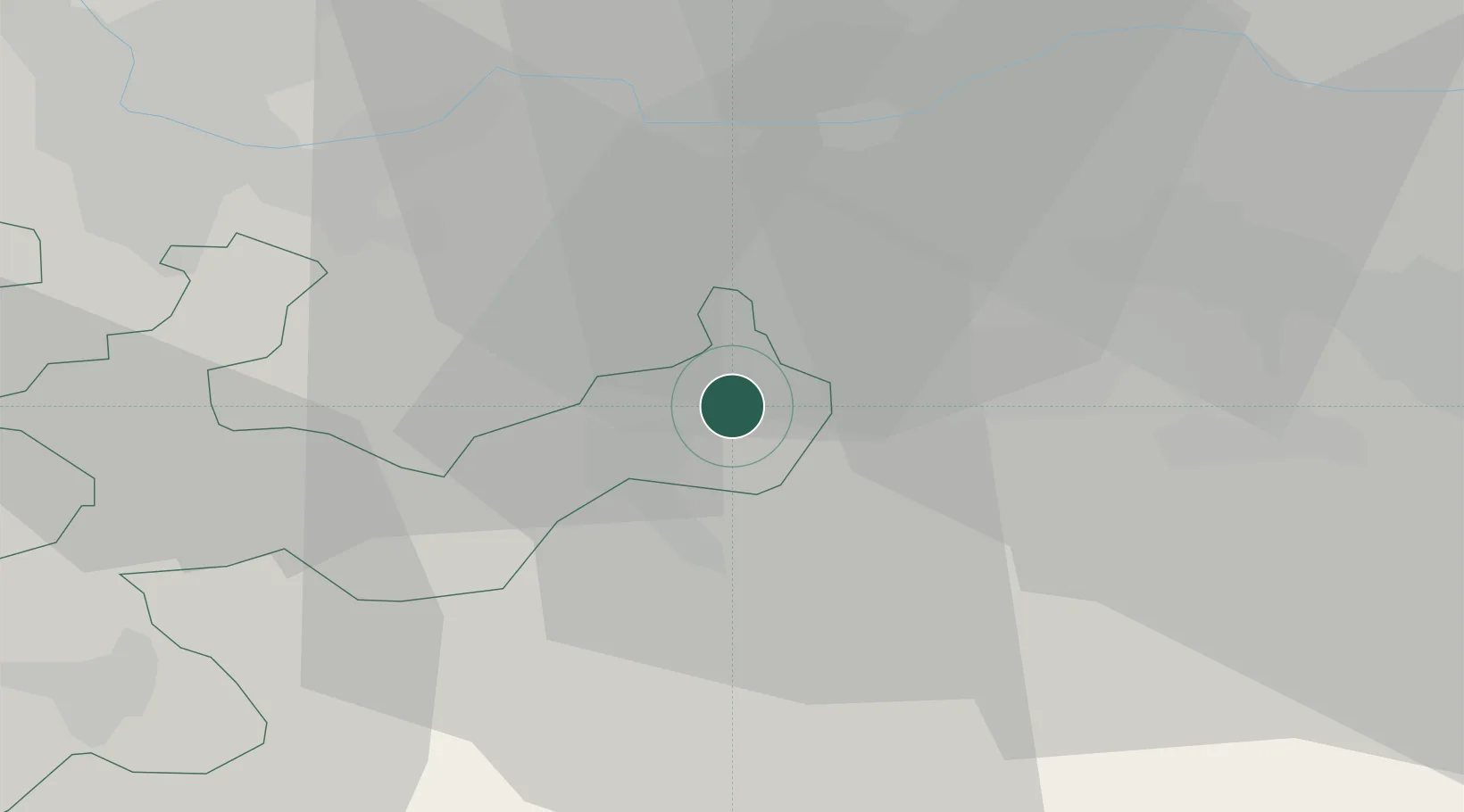
Location
Nearby Logistics Neighbours
Cities
- 1Lostorf1 km
- 2Niedergösgen2 km
- 3Gretzenbach3 km
- 4Schönenwerd3 km
- 5Däniken4 km
Ports
- 1Genova340 km
- 2Savona344 km
- 3Rada Di Vado349 km
- 4Chiavari - Lavagna358 km
- 5Imperia389 km
Airports
- 1Emmen Air Base41 km
- 2EuroAirport Basel–Mulhouse–Freiburg41 km
- 3Zürich Airport45 km
- 4Grenchen Airfield47 km
- 5Dübendorf Air Base51 km
Trade Zones
- 1ZFU Mulhouse62 km
- 2ZFU Montbéliard90 km
- 3ZFU Belfort92 km
- 4ZFU Neuhof130 km
- 5PESA - Port-Franc et Entrepôts de Lausanne-Chavornay SA130 km
DatabookThe Record of Consolidated Knowledge
Switzerland beyond logistics?