Transport Functions
Road
Multimodal
Hub Profile
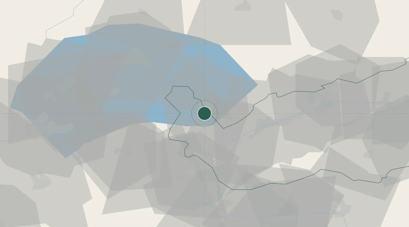
Place type
Populated place
Region
Valais
Population
5,926
Time zone
Europe/Zurich
Elevation
389 m
Location
Nearby Logistics Neighbours
Cities
- 1Ollon5 km
- 2Bex6 km
- 3Sankt Maurice6 km
- 4Chesieres9 km
- 5Villeneuve15 km
Ports
- 1Savona248 km
- 2Rada Di Vado252 km
- 3Genova259 km
- 4Imperia278 km
- 5San Remo280 km
Airports
- 1Sion Airport30 km
- 2Annemasse Airfield53 km
- 3Payerne Air Base64 km
- 4Geneva Cointrin International Airport65 km
- 5Aosta Corrado Gex Airport67 km
Trade Zones
DatabookThe Record of Consolidated Knowledge
Switzerland beyond logistics?